


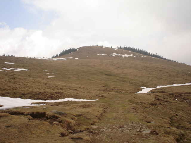
Leider war im April noch zu viel Schnee-sodass die geplante Tour auf den Speikkogel beim Gleinalpenschutzhaus afgehört hat! Ansonsten bestimmt eine herrliche Wanderung-tolle Aussicht, schöne Landschaft und angenehme Wege. Zum Schutzhaus Aufstieg ca: 2,5 Stunden
Fazit: Schöne, nicht sehr anstrengende Wanderung, gut beschildert auf angenehmen Wegen
Tipp: Im Sommer sind die Lippizaner Pferde auf den Almwiesen! Wir werden das dann entsprechend updaten...
Fazit: Schöne, nicht sehr anstrengende Wanderung, gut beschildert auf angenehmen Wegen
Tipp: Im Sommer sind die Lippizaner Pferde auf den Almwiesen! Wir werden das dann entsprechend updaten...
Further information at
http://www.grazer-bergland.com/html/20040209185208.htmlGaleria trasy
Mapa trasy i profil wysokości
Minimum height 1128 m
Maximum height 1623 m
More about the tour author

|
Komentarze

Von Norden und Süden auf der A9 bis zur Abfahrt Übelbach. Von Übelbach weiter bis Neuhof. Von Neuhof der Strasse bergauf folgen bis zum Parkplatz beim Gasthof Krautwasch. (Die Anfahrt zum Ghf. Krautwasch ist ab Übelbach/Neuhof beschildert)
GPS tracks
Trackpoints-
GPX / Garmin Map Source (gpx) download
-
TCX / Garmin Training Center® (tcx) download
-
CRS / Garmin Training Center® (crs) download
-
Google Earth (kml) download
-
G7ToWin (g7t) download
-
TTQV (trk) download
-
Overlay (ovl) download
-
Fugawi (txt) download
-
Kompass (DAV) Track (tk) download
-
Karta trasy (pdf) download
-
Original file of the author (gpx) download
More about the tour author
|
|
Add to my favorites
Remove from my favorites
Edit tags
Open track
My score
Rate