Login

Zapomniałeś swój login?

Cookies have to be accepted!
Your browser's cookie functionality is disabled. Please enable this functionality.

Not a member yet?

Register now
Login

Available for registred users only

Log in to use this feature.

Zapomniałeś swój login?

Cookies have to be accepted!
Your browser's cookie functionality is disabled. Please enable this functionality.

Not a member yet?

Register now
Filter
Kategorie
Advanced filters
  • Długość (km)
  • Wysokość
Zapisz filtr Reset filter

TrackRank

QRCode

Technical data

Długość14,4 km Wysokość392 m Way down397 m Czas trwania04:10 h:m Data12.09.2011
Oceny Author Krajobraz Czynnik zadowolenia Kondycja Technika

Statystyka

514 Widoki Oceny 102 Downloads / Pliki do pobrania Przeciętnie
Rate
  • Karta trasy
  • Dojazd
  • Downloads / Pliki do pobrania
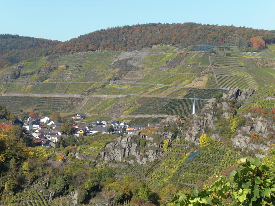
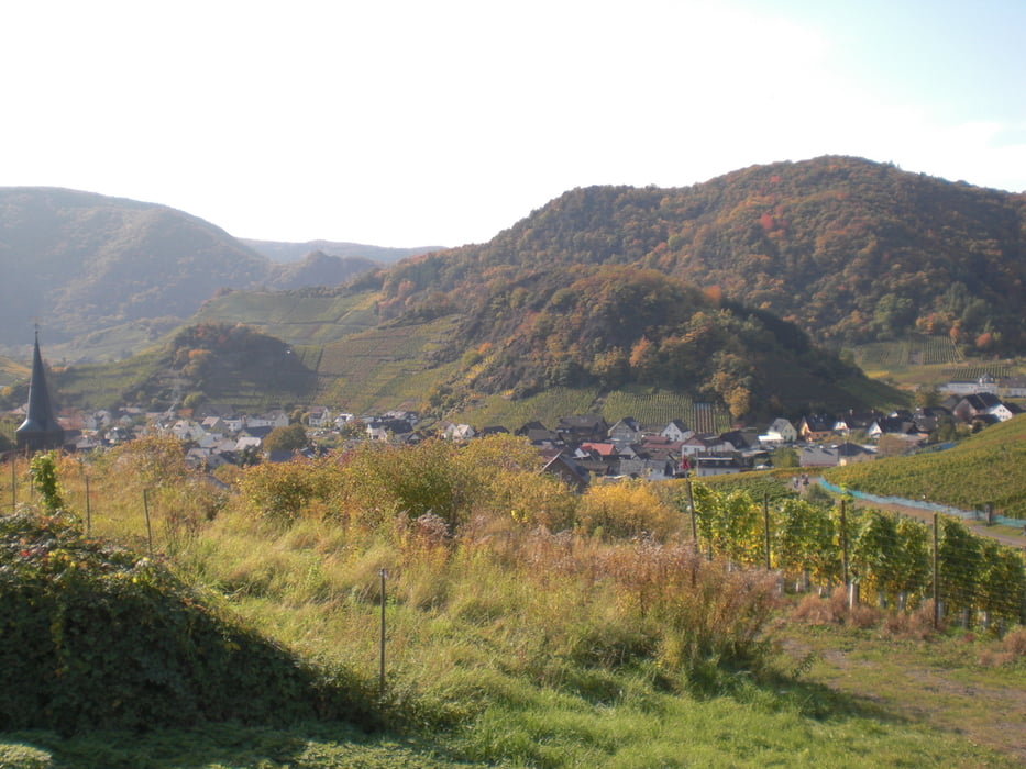
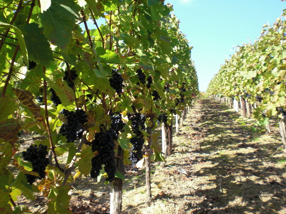
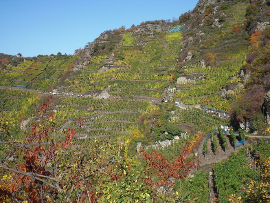
Diese Runde führt durch das Ahrtal hälftig auf dem berühmten Rotweinwanderweg (nördlicher Teil)und hälftig durch den Wald zurück. Es gibt mehrere Einkehrmöglichkeiten unterwegs. Gerade auf der exponierten Nord-Seite kann man die gesamte Strecke nach Altenahr über einen tollen Blick ins Ahrtal geniessen. Eine schöne Tour für die ganze Familie, die aber solche Strecken schon mal gegangen sein sollte. Technisch anspruchslos.

Galeria trasy

Mapa trasy i profil wysokości

  • Open Street Map
  • Google
Minimum height 128 m Maximum height 301 m Widok szczegółowy

More about the tour author

riggs1
Member since 2011

Send private message

Komentarze

Am besten in Rech unmittelbar im Ort parken.

GPS tracks

Trackpoints
  • GPX / Garmin Map Source (gpx) download
  • TCX / Garmin Training Center® (tcx) download
  • CRS / Garmin Training Center® (crs) download
  • Google Earth (kml) download
  • G7ToWin (g7t) download
  • TTQV (trk) download
  • Overlay (ovl) download
  • Fugawi (txt) download
  • Kompass (DAV) Track (tk) download
  • Karta trasy (pdf) download
  • Original file of the author (gpx) download

More about the tour author

riggs1
Member since 2011

Send private message
Share track
Add to my favorites
Remove from my favorites
Edit tags
My score
Rate
Trasa: Weinfestrunde
Rodzaj: Wędrówki
Długość: 14,4 km
Evaluated on:
Czas trwania:
Day(s)
Hour(s)
Minute(s)
Ocena: Krajobraz Czynnik zadowolenia Kondycja Technika