Login

Zapomniałeś swój login?

Cookies have to be accepted!
Your browser's cookie functionality is disabled. Please enable this functionality.

Not a member yet?

Register now
Login

Available for registred users only

Log in to use this feature.

Zapomniałeś swój login?

Cookies have to be accepted!
Your browser's cookie functionality is disabled. Please enable this functionality.

Not a member yet?

Register now
Filter
Kategorie
Advanced filters
  • Długość (km)
  • Wysokość
Zapisz filtr Reset filter

TrackRank

QRCode

Technical data

Długość54,1 km Wysokość730 m Way down737 m Czas trwania02:10 h:m Data12.09.2011
Oceny Author Krajobraz Czynnik zadowolenia Kondycja Technika

Statystyka

714 Widoki Oceny 136 Downloads / Pliki do pobrania Przeciętnie
Rate
  • Karta trasy
  • Dojazd
  • Downloads / Pliki do pobrania

Start in Bucha bei Marios Radservice (Di-Sa)

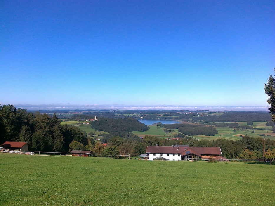
Über Nebenstraßen immer schön hügelig nach Wildenwart und über Rimsting zur Ratzinger Höhe - steile Abfahrt (Achtung Querrillen) nach Thalkirchen am Simsee. Auf der Westseite entlang bis nach Riedering. Von dort gehts über kleinere Dörfer nach Frasdorf, Leitenberg zurück nach Bucha.

Schöne Runde mit kurzen Anstiegen. Andere Richtung setzt Quälfähigkeit voraus, denn Auffahrt von Thalkirchen zur Ratzinger Höhe ca. 24%.

Bademöglichkeiten: Simsee, Tinninger See    

Galeria trasy

Mapa trasy i profil wysokości

  • Open Street Map
  • Google
Minimum height 468 m Maximum height 692 m Widok szczegółowy

More about the tour author

CF2008
Member since 2011

Send private message

Komentarze

GPS tracks

Trackpoints
  • GPX / Garmin Map Source (gpx) download
  • TCX / Garmin Training Center® (tcx) download
  • CRS / Garmin Training Center® (crs) download
  • Google Earth (kml) download
  • G7ToWin (g7t) download
  • TTQV (trk) download
  • Overlay (ovl) download
  • Fugawi (txt) download
  • Kompass (DAV) Track (tk) download
  • Karta trasy (pdf) download
  • Original file of the author (gpx) download

More about the tour author

CF2008
Member since 2011

Send private message
Share track
Add to my favorites
Remove from my favorites
Edit tags
My score
Rate
Trasa: Hügelige Tour über Nebenstrassen mit schönen Aussichten
Rodzaj: Rower szosowy
Długość: 54,1 km
Evaluated on:
Czas trwania:
Day(s)
Hour(s)
Minute(s)
Ocena: Krajobraz Czynnik zadowolenia Kondycja Technika