Login

Zapomniałeś swój login?

Cookies have to be accepted!
Your browser's cookie functionality is disabled. Please enable this functionality.

Not a member yet?

Register now
Login

Available for registred users only

Log in to use this feature.

Zapomniałeś swój login?

Cookies have to be accepted!
Your browser's cookie functionality is disabled. Please enable this functionality.

Not a member yet?

Register now
Filter
Kategorie
Advanced filters
  • Długość (km)
  • Wysokość
Zapisz filtr Reset filter

TrackRank

QRCode

Technical data

Długość55,1 km Wysokość209 m Way down218 m Czas trwania02:35 h:m Data17.09.2011
Oceny Author User Krajobraz Czynnik zadowolenia Kondycja Technika

Statystyka

1362 Widoki 2 Oceny 74 Downloads / Pliki do pobrania 4.00 Przeciętnie
Rate
  • Karta trasy
  • Dojazd
  • Downloads / Pliki do pobrania

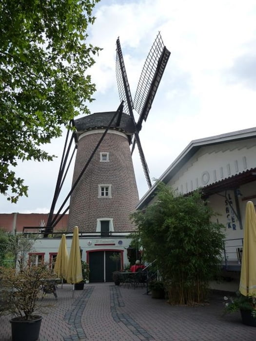
Ich bin heute mal den Oberhausener Rundwanderweg mit dem Rad gefahren.

Ist fürs Training mal ne ganz gute Strecke durch schöne Ecken von Oberhausen.

Ich bin zwar mit dem Mountainbike gefahren, aber die Strecke kann auch gut mit dem Trekkingbike gefahren werden. (Ist ja eigentlich ein Wanderweg)

Teilweise gab es ein paar ganz kleine Abweichungen vom Originalweg.

Further information at

http://www.sgv-bezirk-emscher-lippe.de/oberhausen.html

Galeria trasy

Mapa trasy i profil wysokości

  • Open Street Map
  • Google
Minimum height 31 m Maximum height 78 m Widok szczegółowy

More about the tour author

buggi
Member since 2008

Send private message

Komentarze

Distra on 05.03.2014

Das O. als Laufstrecke

Lässt sich auch sehr schön laufen. Vor allem da die Brücke über den Rotbach erneuert wurde.
Man kann überalle einsteigen, denn es ist ein Rundweg

GPS tracks

Trackpoints
  • GPX / Garmin Map Source (gpx) download
  • TCX / Garmin Training Center® (tcx) download
  • CRS / Garmin Training Center® (crs) download
  • Google Earth (kml) download
  • G7ToWin (g7t) download
  • TTQV (trk) download
  • Overlay (ovl) download
  • Fugawi (txt) download
  • Kompass (DAV) Track (tk) download
  • Karta trasy (pdf) download
  • Original file of the author (tcx) download

More about the tour author

buggi
Member since 2008

Send private message
Share track
Add to my favorites
Remove from my favorites
Edit tags
My score
Rate
Trasa: Das schräge "O." Oberhausener Rundwanderweg
Rodzaj: Rower trekkingowy
Długość: 55,1 km
Evaluated on:
Czas trwania:
Day(s)
Hour(s)
Minute(s)
Ocena: Krajobraz Czynnik zadowolenia Kondycja Technika