

Die Tour führt vom Südufer des Achensees auf dem Uferradweg nach Pertisau dann auf Forstwegen zur Bärkopfhütte. Von dort auf einem Trail (tw tragen) über eine "Scharte" zur Weisbachhütte. Auf einem Forstweg hinab nach Maurach und auf einem schönen Trail nach Jenbach. Auf Radwegen durchs Inntal und auf Nebenstraßen insZillertal nach Fügen.
Viel Spaß.
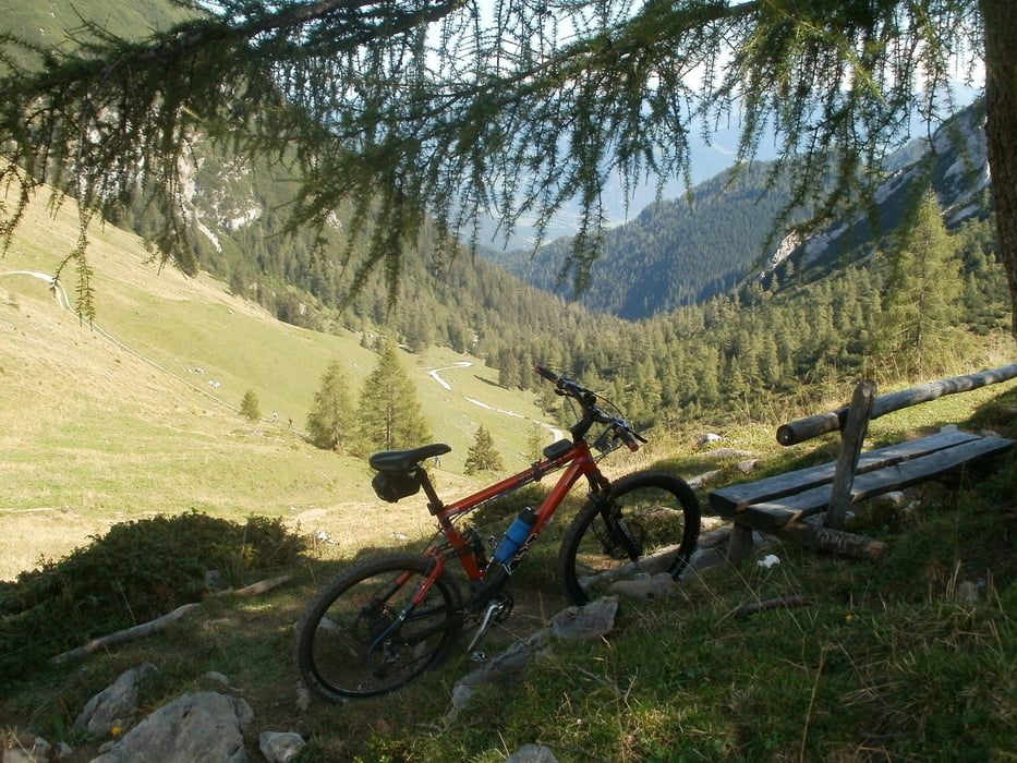
Galeria trasy


Mapa trasy i profil wysokości
Minimum height 556 m
Maximum height 1696 m
More about the tour author
|
|
berndhuber |
Komentarze

Inntalautobahn > pertisau
GPS tracks
Trackpoints-
GPX / Garmin Map Source (gpx) download
-
TCX / Garmin Training Center® (tcx) download
-
CRS / Garmin Training Center® (crs) download
-
Google Earth (kml) download
-
G7ToWin (g7t) download
-
TTQV (trk) download
-
Overlay (ovl) download
-
Fugawi (txt) download
-
Kompass (DAV) Track (tk) download
-
Karta trasy (pdf) download
-
Original file of the author (gpx) download
More about the tour author
|
|
berndhuber |
Add to my favorites
Remove from my favorites
Edit tags
Open track
My score
Rate