Login

Zapomniałeś swój login?

Cookies have to be accepted!
Your browser's cookie functionality is disabled. Please enable this functionality.

Not a member yet?

Register now
Login

Available for registred users only

Log in to use this feature.

Zapomniałeś swój login?

Cookies have to be accepted!
Your browser's cookie functionality is disabled. Please enable this functionality.

Not a member yet?

Register now
Filter
Kategorie
Advanced filters
  • Długość (km)
  • Wysokość
Zapisz filtr Reset filter

TrackRank

QRCode

Technical data

Długość5,5 km Wysokość572 m Way down567 m Czas trwania02:45 h:m Data19.09.2011
Oceny Author Krajobraz Czynnik zadowolenia Kondycja Technika

Statystyka

1106 Widoki Oceny 75 Downloads / Pliki do pobrania Przeciętnie
Rate
  • Karta trasy
  • Dojazd
  • Downloads / Pliki do pobrania

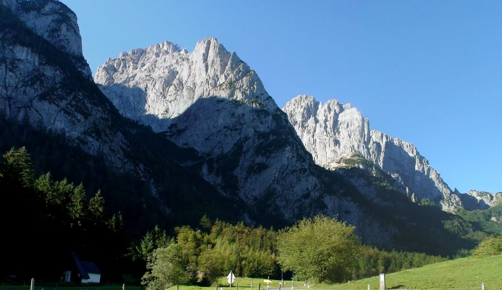
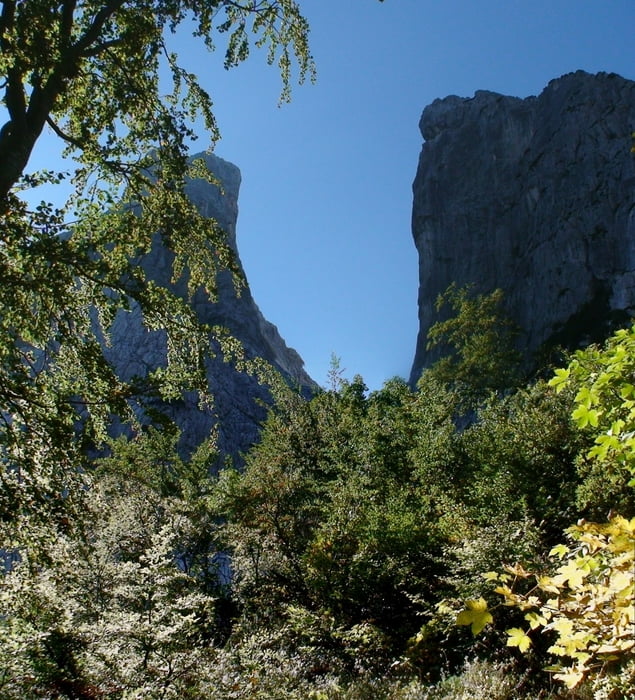
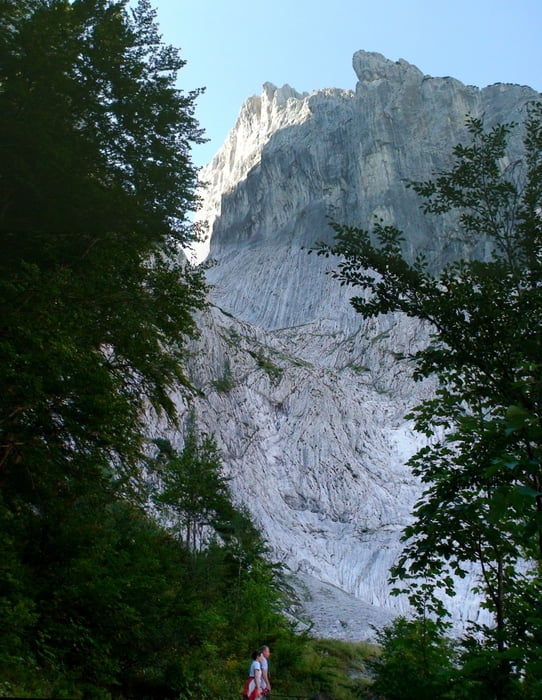
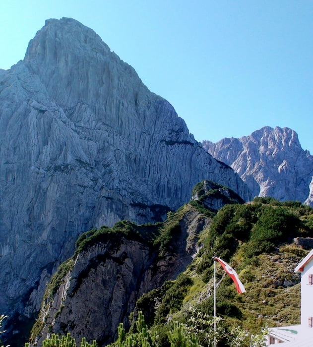
Vom Parkplatz zunächst auf Schotterweg aufwärts, dann durch Wald und aus dem Wald heraus zum Stripsenjoch, immer mit herrlichen Ausblicken auf Predigtstuhl, Fleischbank, Totenkirchl und zurück ins Kaiserbach- Tal.

Aufstieg: 1:40h

Auf gleichem Weg zurück: 1:05h


Galeria trasy

Mapa trasy i profil wysokości

  • Open Street Map
  • Google
Minimum height 992 m Maximum height 1573 m Widok szczegółowy

More about the tour author

heinz-57
Member since 2009

Send private message

Komentarze

Google Earth: 47.580134° / 12.331540°

Von Kitzbühel kommend nach St. Johann, links ab nach Gasteig, Griesenau. Links ab ins Kaiserbachtal, auf Mautstraße zur Griesener Alm

GPS tracks

Trackpoints
  • GPX / Garmin Map Source (gpx) download
  • TCX / Garmin Training Center® (tcx) download
  • CRS / Garmin Training Center® (crs) download
  • Google Earth (kml) download
  • G7ToWin (g7t) download
  • TTQV (trk) download
  • Overlay (ovl) download
  • Fugawi (txt) download
  • Kompass (DAV) Track (tk) download
  • Karta trasy (pdf) download
  • Original file of the author (gpx) download

More about the tour author

heinz-57
Member since 2009

Send private message
Share track
Add to my favorites
Remove from my favorites
Edit tags
My score
Rate
Trasa: Wilder Kaiser: Kaiserbachtal zurm Stripsenjoch
Rodzaj: Wędrówki
Długość: 5,5 km
Evaluated on:
Czas trwania:
Day(s)
Hour(s)
Minute(s)
Ocena: Krajobraz Czynnik zadowolenia Kondycja Technika