


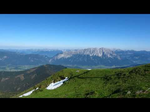
Das Gumpeneck 2.226m ist ein beliebtes Ziel vieler Bergwanderer im wunderschönen Naturpark Sölktäler. Auf der gesamten Tour gibt es nur eine kurze Stelle vor dem Zinken die mit ein paar Blocksteinen ein kleinwenig anspruchsvoller ist. Sonst ist das Gumpeneck trotz seiner Höhe ein Berg mit viel Wiese und wenigen Steinen. Wie z.B. auf dem Großen Bösenstein und dem Stoderzinken bietet diese Bergtour eine vergleichbar herrliche Aussicht. An schönen Tagen sieht man vom Gumpeneck nicht nur viele Berge der Niederen Tauern, sondern kann auch im Tal bis zu 13 Ortschaften mit freiem Auge erkennen.
weitere Fotos und Infos findest du auf biketours4you.at
Galeria trasy


Mapa trasy i profil wysokości
Minimum height 1106 m
Maximum height 2238 m
More about the tour author
|
|
Trek1400d |
Komentarze

GPS tracks
Trackpoints-
GPX / Garmin Map Source (gpx) download
-
TCX / Garmin Training Center® (tcx) download
-
CRS / Garmin Training Center® (crs) download
-
Google Earth (kml) download
-
G7ToWin (g7t) download
-
TTQV (trk) download
-
Overlay (ovl) download
-
Fugawi (txt) download
-
Kompass (DAV) Track (tk) download
-
Karta trasy (pdf) download
-
Original file of the author (gpx) download
More about the tour author
|
|
Trek1400d |
Add to my favorites
Remove from my favorites
Edit tags
Open track
My score
Rate