
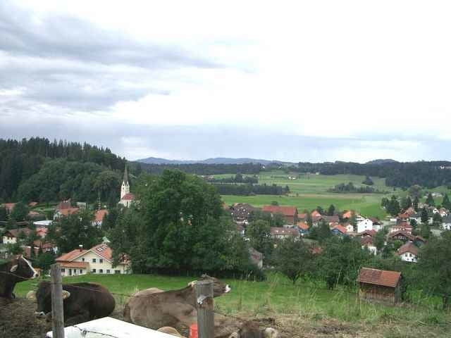

Start in Tettnang dann über Esseratsweiler Wildberg auf die Deutsche Alpenstrasse. Durch die Rohrach kommen wir nach Scheidegg und Lindenberg. Vor Ortsende Lindenberg rechts auf der ehemaligen Bahntrasse Richtung Röthenbach halten.Über Steinegaden Röthenbach (teils auf Bodensee-Königseeradweg)nach Schönau.
Hier links zum Eistobel, nach Maierhöfen. Vorbei am Hengles Weiher nach Kleinweiler-Hofen und Weitnau.
Hier links zum Eistobel, nach Maierhöfen. Vorbei am Hengles Weiher nach Kleinweiler-Hofen und Weitnau.
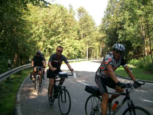
Galeria trasy
Mapa trasy i profil wysokości
Minimum height 421 m
Maximum height 796 m
More about the tour author
|
|
Bockrider |
Komentarze

Start in Tettnang beim Wohnmobilstellplatz.
GPS tracks
Trackpoints-
GPX / Garmin Map Source (gpx) download
-
TCX / Garmin Training Center® (tcx) download
-
CRS / Garmin Training Center® (crs) download
-
Google Earth (kml) download
-
G7ToWin (g7t) download
-
TTQV (trk) download
-
Overlay (ovl) download
-
Fugawi (txt) download
-
Kompass (DAV) Track (tk) download
-
Karta trasy (pdf) download
-
Original file of the author (gpx) download
More about the tour author
|
|
Bockrider |
Add to my favorites
Remove from my favorites
Edit tags
Open track
My score
Rate