


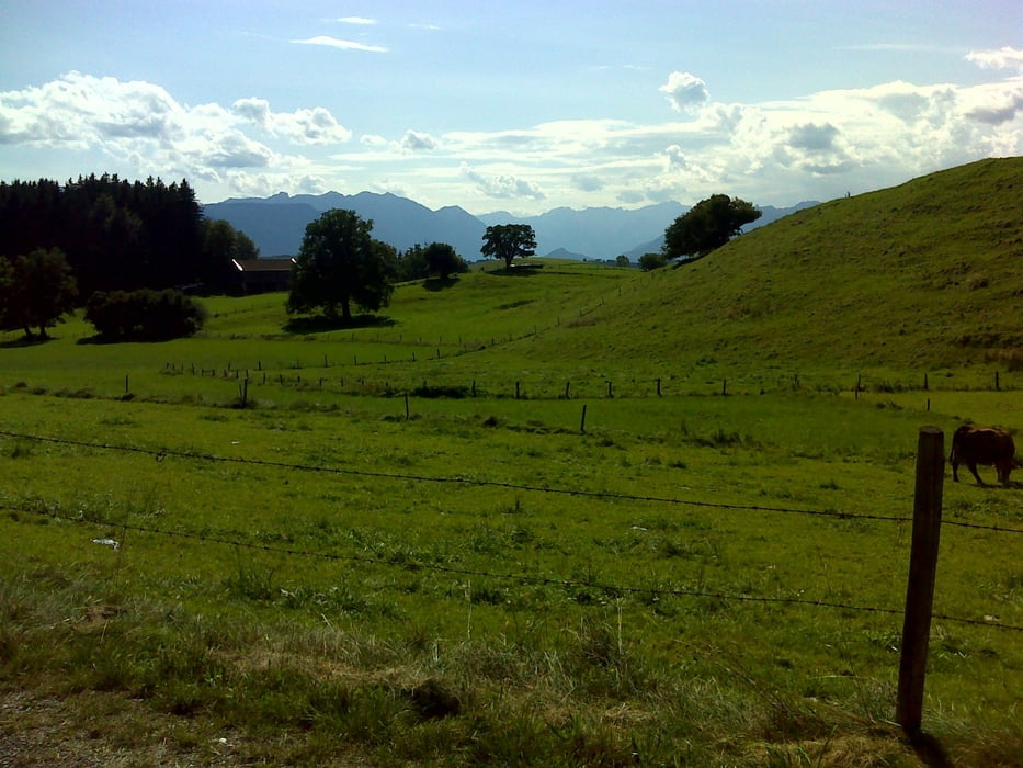
Genußtour. Alles wenig befahrene Straßen oder meist geteerte Radwege.
Los geht's in Penzberg, Posten 10. Dann über Breunetsried nach Frauenrain (50 hm). Weiter über Riedern nach Habach und dann zur Höhlmühle und Aidling (ca. 100 hm). Von dort geht's erstmal runter zum Riegsee und dann nach Uffing am Staffelsee. Dort gibt's eine kleine Straße nach Brand und von dort steil hoch nach Schachmoos. Weiter hoch nach Schöffau und dann leicht bergauf und bergab nach Böbing. Von dort geht's einige Kilometer auf einer etwas befahreneren Straße nach Peißenberg (steile Abfahrt). Kurz an der Ammer entlang (ganz kleines Schotterstück). Dann über Untermaxlried, Oberhausen nach Huglfing. Man fährt oben an der NO Seite von Huglfing entlang. Es folgt geteerter Radweg, Straße nach Egenried. Weiter Radwege über Pollinger Weiher, Hachtsee, Reinthal nach Antdorf und von dort zurück nach Penzberg. Abwechslungsreiche Strecke und mit gut 77 km undca. 800 hm gut in knapp 3 1/2 Stunden zu schaffen.
Galeria trasy


Mapa trasy i profil wysokości
Minimum height 552 m
Maximum height 766 m
More about the tour author
|
|
JoHoe |
Komentarze

GPS tracks
Trackpoints-
GPX / Garmin Map Source (gpx) download
-
TCX / Garmin Training Center® (tcx) download
-
CRS / Garmin Training Center® (crs) download
-
Google Earth (kml) download
-
G7ToWin (g7t) download
-
TTQV (trk) download
-
Overlay (ovl) download
-
Fugawi (txt) download
-
Kompass (DAV) Track (tk) download
-
Karta trasy (pdf) download
-
Original file of the author (gpx) download
More about the tour author
|
|
JoHoe |
Add to my favorites
Remove from my favorites
Edit tags
Open track
My score
Rate