Login

Zapomniałeś swój login?

Cookies have to be accepted!
Your browser's cookie functionality is disabled. Please enable this functionality.

Not a member yet?

Register now
Login

Available for registred users only

Log in to use this feature.

Zapomniałeś swój login?

Cookies have to be accepted!
Your browser's cookie functionality is disabled. Please enable this functionality.

Not a member yet?

Register now
Filter
Kategorie
Advanced filters
  • Długość (km)
  • Wysokość
Zapisz filtr Reset filter

TrackRank

QRCode

Technical data

Długość56,9 km Wysokość1171 m Way down1192 m Czas trwania03:40 h:m Data04.10.2011
Oceny Author Krajobraz Czynnik zadowolenia Kondycja Technika

Statystyka

669 Widoki Oceny 67 Downloads / Pliki do pobrania Przeciętnie
Rate
  • Karta trasy
  • Dojazd
  • Downloads / Pliki do pobrania
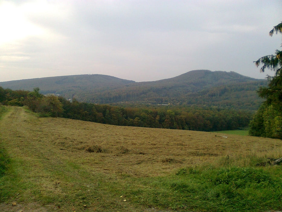
Mein klarer Favorit in der Heimat !! Viel Wald. das Maximum an Höhenmetern auf der Distanz und tolle Aussichtspunkte.

Galeria trasy

Mapa trasy i profil wysokości

  • Open Street Map
  • Google
Minimum height 105 m Maximum height 426 m Widok szczegółowy

More about the tour author

ekkardoo
Member since 2008

Send private message

Komentarze

Startpunkt. Parkplatz  Busbahnhof Schulzentrum, Spoartanlage Blomberg. Von der B1 an der Ampel (Lidel Markt und Schiesshalle) dem Schild "Schul- u. Sportzentrumd" folgen, Da, wo sich die Strasse verjüngt links den Berg hinauf zum Parkplatz.

GPS tracks

Trackpoints
  • GPX / Garmin Map Source (gpx) download
  • TCX / Garmin Training Center® (tcx) download
  • CRS / Garmin Training Center® (crs) download
  • Google Earth (kml) download
  • G7ToWin (g7t) download
  • TTQV (trk) download
  • Overlay (ovl) download
  • Fugawi (txt) download
  • Kompass (DAV) Track (tk) download
  • Karta trasy (pdf) download
  • Original file of the author (gpx) download

More about the tour author

ekkardoo
Member since 2008

Send private message
Share track
Add to my favorites
Remove from my favorites
Edit tags
My score
Rate
Trasa: Panorama Blomberg, Eschenbruch, Lügde, Mörth, Schieder
Rodzaj: Rower górski (MTB)
Długość: 56,9 km
Evaluated on:
Czas trwania:
Day(s)
Hour(s)
Minute(s)
Ocena: Krajobraz Czynnik zadowolenia Kondycja Technika