Login

Zapomniałeś swój login?

Cookies have to be accepted!
Your browser's cookie functionality is disabled. Please enable this functionality.

Not a member yet?

Register now
Login

Available for registred users only

Log in to use this feature.

Zapomniałeś swój login?

Cookies have to be accepted!
Your browser's cookie functionality is disabled. Please enable this functionality.

Not a member yet?

Register now
Filter
Kategorie
Advanced filters
  • Długość (km)
  • Wysokość
Zapisz filtr Reset filter

TrackRank

QRCode

Technical data

Długość13,7 km Wysokość633 m Way down621 m Czas trwania02:00 h:m Data05.10.2011
Oceny Author Krajobraz Czynnik zadowolenia Kondycja Technika

Statystyka

795 Widoki Oceny 82 Downloads / Pliki do pobrania Przeciętnie
Rate
  • Karta trasy
  • Dojazd
  • Downloads / Pliki do pobrania

Die Tour startet am Parkplatz des "Waldcafe" und führt zunächst ein kleines Stück auf der Straße zurück Richtung Neustift. Der eigentliche Weg zweigt dann links ab und führt komplett auf breitem Forstweg bis zur Ochsenalm.

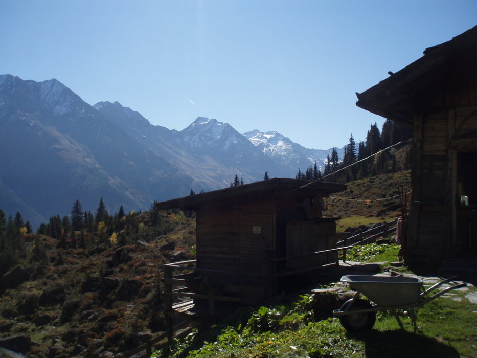
Die Alm ist bis ca. Ende September bewirtschaftet.

Galeria trasy

Mapa trasy i profil wysokości

  • Open Street Map
  • Google
Minimum height 1227 m Maximum height 1843 m Widok szczegółowy

More about the tour author

mOzar3lla
Member since 2008

Send private message

Komentarze

Von Innsbruck über die Inntalautobahn Richtung Brenner. Ausfahrt Schönberg/Stubaital. Dann auf der Bundesstraße vorbei an Fulpmes und Neustift bis Falbeson. Parkplatz an der Gaststätte "Waldcafe"

GPS tracks

Trackpoints
  • GPX / Garmin Map Source (gpx) download
  • TCX / Garmin Training Center® (tcx) download
  • CRS / Garmin Training Center® (crs) download
  • Google Earth (kml) download
  • G7ToWin (g7t) download
  • TTQV (trk) download
  • Overlay (ovl) download
  • Fugawi (txt) download
  • Kompass (DAV) Track (tk) download
  • Karta trasy (pdf) download
  • Original file of the author (gpx) download

More about the tour author

mOzar3lla
Member since 2008

Send private message
Share track
Add to my favorites
Remove from my favorites
Edit tags
My score
Rate
Trasa: Auf die Falbesoner Ochsenalm
Rodzaj: Rower górski (MTB)
Długość: 13,7 km
Evaluated on:
Czas trwania:
Day(s)
Hour(s)
Minute(s)
Ocena: Krajobraz Czynnik zadowolenia Kondycja Technika