Login

Zapomniałeś swój login?

Cookies have to be accepted!
Your browser's cookie functionality is disabled. Please enable this functionality.

Not a member yet?

Register now
Login

Available for registred users only

Log in to use this feature.

Zapomniałeś swój login?

Cookies have to be accepted!
Your browser's cookie functionality is disabled. Please enable this functionality.

Not a member yet?

Register now
Filter
Kategorie
Advanced filters
  • Długość (km)
  • Wysokość
Zapisz filtr Reset filter

TrackRank

QRCode

Technical data

Długość67,9 km Wysokość1666 m Way down1657 m Czas trwania08:00 h:m Data05.10.2011
Oceny Author User Krajobraz Czynnik zadowolenia Kondycja Technika

Statystyka

1789 Widoki 4 Oceny 521 Downloads / Pliki do pobrania 5.00 Przeciętnie
Rate
  • Karta trasy
  • Dojazd
  • Downloads / Pliki do pobrania
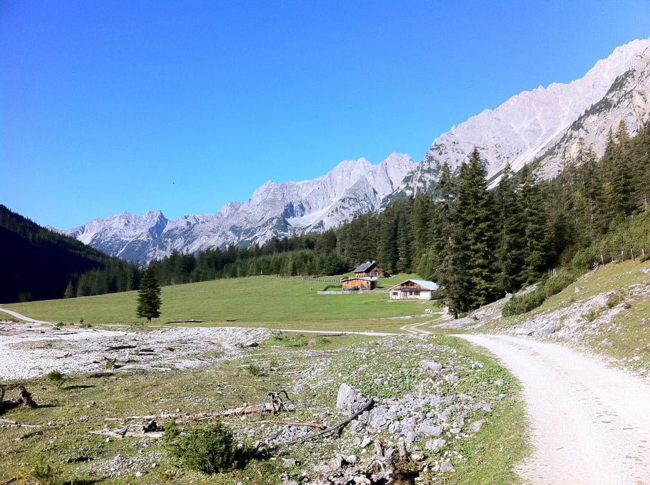
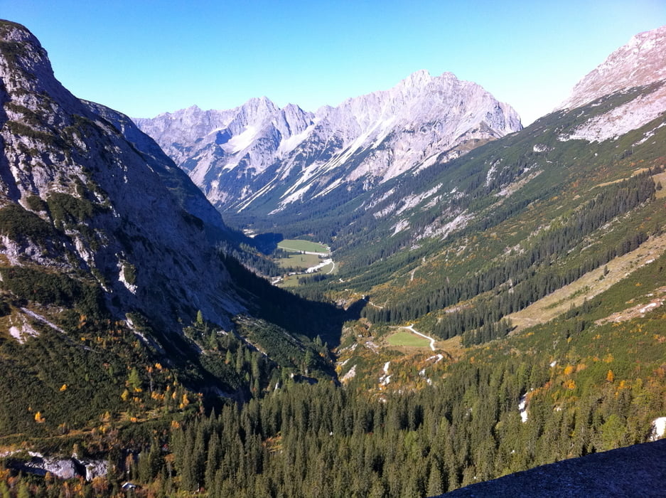
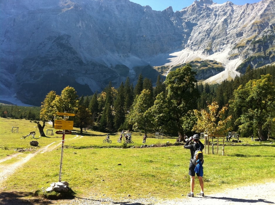
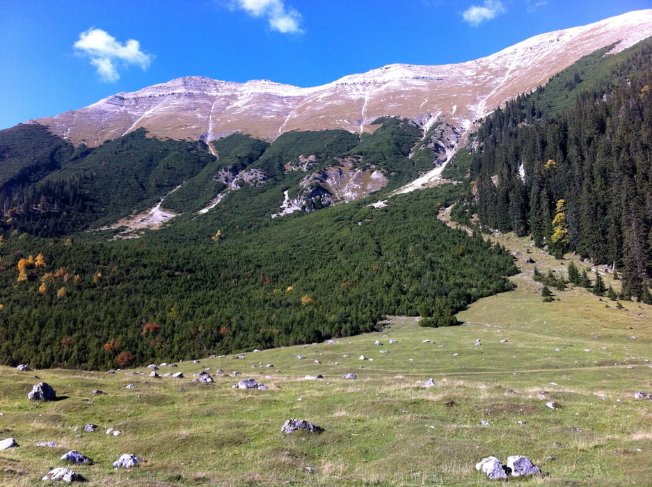
Die klassische Karwendelrunde mit Start in Mittenwald durch das Karwendeltal zum Karwendelhaus. Danach hinab zum kleinen Ahornboden und nach Hinterriss. Von dort noch über zwei Anstiege zur Vereinalpe und zurück nach Mittenwald

Galeria trasy

Mapa trasy i profil wysokości

  • Open Street Map
  • Google
Minimum height 911 m Maximum height 1798 m Widok szczegółowy

More about the tour author

johannesbross
Member since 2009

Send private message

Komentarze

Über Garmisch nach Mittenwald (Mittenwald Süd von der Bundesstraße). Dann Richtung Zentrum fahren und am großen Parkplatz für Mountainbike parken (direkt am Fluss).

GPS tracks

Trackpoints
  • GPX / Garmin Map Source (gpx) download
  • TCX / Garmin Training Center® (tcx) download
  • CRS / Garmin Training Center® (crs) download
  • Google Earth (kml) download
  • G7ToWin (g7t) download
  • TTQV (trk) download
  • Overlay (ovl) download
  • Fugawi (txt) download
  • Kompass (DAV) Track (tk) download
  • Karta trasy (pdf) download
  • Original file of the author (gpx) download

More about the tour author

johannesbross
Member since 2009

Send private message
Share track
Add to my favorites
Remove from my favorites
Edit tags
My score
Rate
Trasa: 2011-10-02 KARWENDELRUNDE
Rodzaj: Rower górski (MTB)
Długość: 67,9 km
Evaluated on:
Czas trwania:
Day(s)
Hour(s)
Minute(s)
Ocena: Krajobraz Czynnik zadowolenia Kondycja Technika