Login

Zapomniałeś swój login?

Cookies have to be accepted!
Your browser's cookie functionality is disabled. Please enable this functionality.

Not a member yet?

Register now
Login

Available for registred users only

Log in to use this feature.

Zapomniałeś swój login?

Cookies have to be accepted!
Your browser's cookie functionality is disabled. Please enable this functionality.

Not a member yet?

Register now
Filter
Kategorie
Advanced filters
  • Długość (km)
  • Wysokość
Zapisz filtr Reset filter

TrackRank

QRCode

Technical data

Długość5,8 km Wysokość41 m Way down41 m Czas trwania03:00 h:m Data09.10.2011
Oceny Author Krajobraz Czynnik zadowolenia Kondycja Technika

Statystyka

776 Widoki Oceny 36 Downloads / Pliki do pobrania Przeciętnie
Rate
  • Karta trasy
  • Dojazd
  • Downloads / Pliki do pobrania


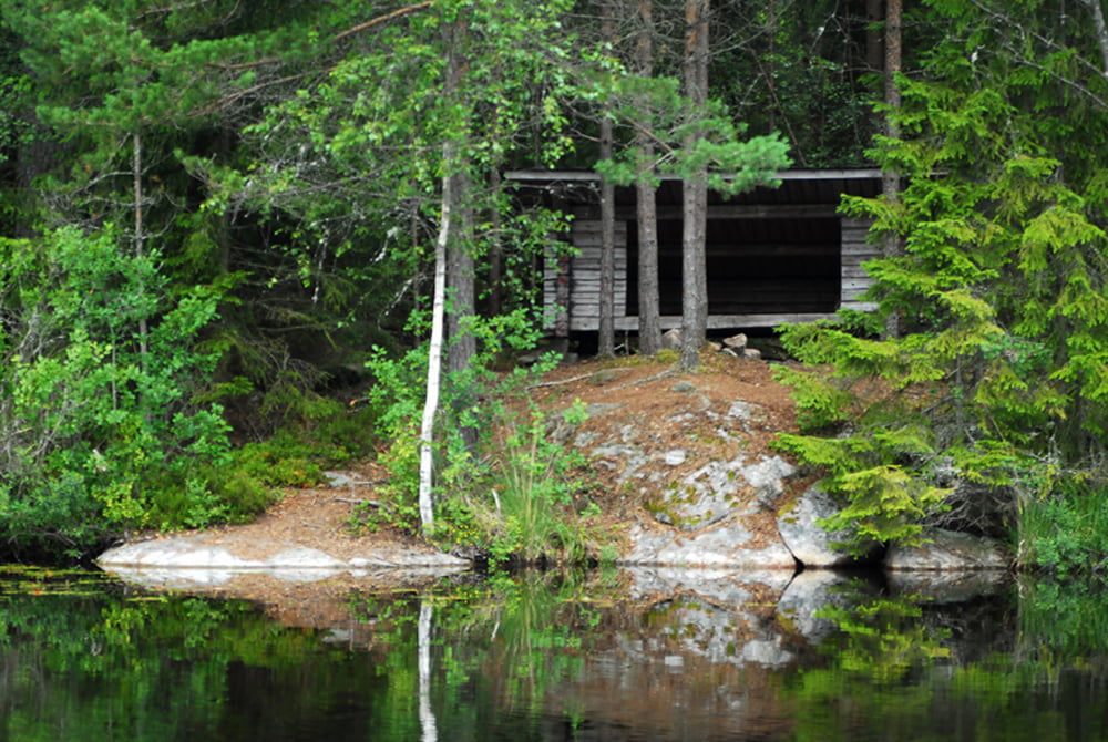
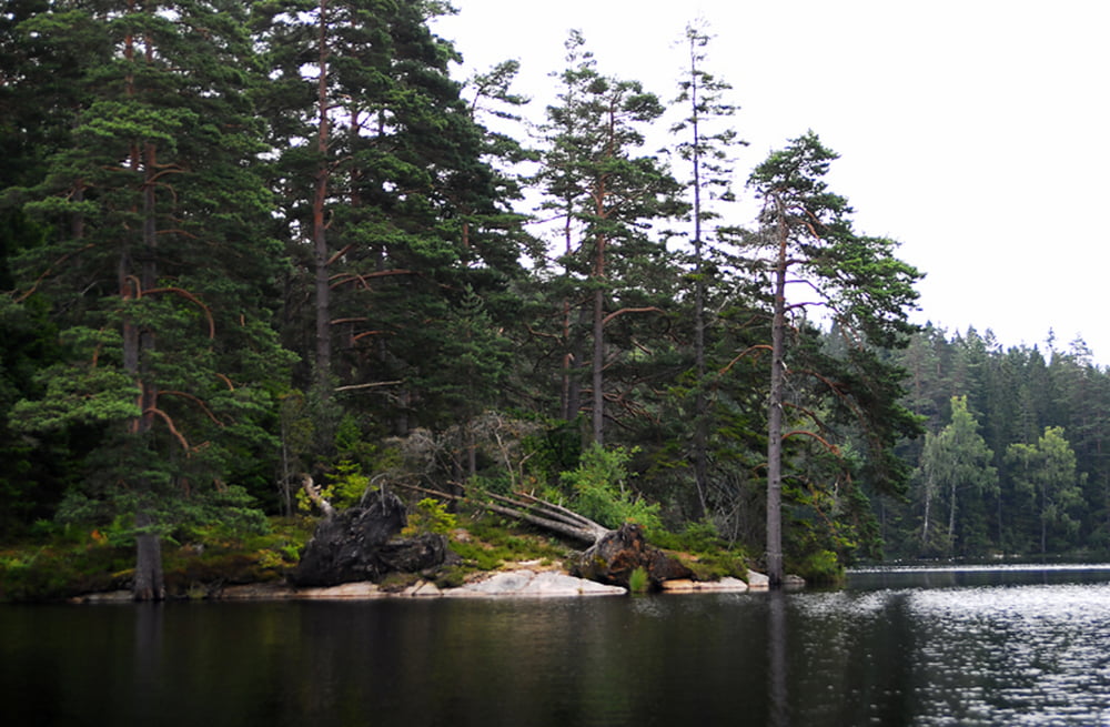
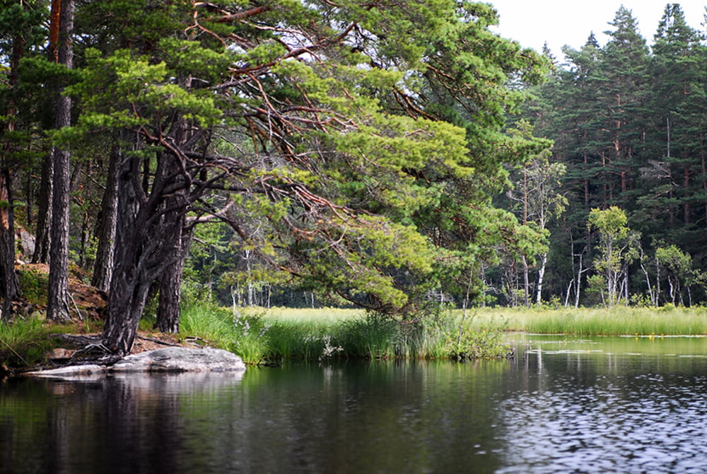
Eine typische Paddeltour über 3 zusammenhängende in wunderschöner Naturgelegene Seen. Durch die größtenteils windgeschützte Lage ist diese Tour auch für Canadier geeignet. Interessant sind hier die vielen kleinen und großen Inseln bzw. sogar mindestens eine Übernachtungsmöglichkeit in einem Windshelter . . .

Viel Spaß beim paddeln . . . Kay

Galeria trasy

Mapa trasy i profil wysokości

  • Open Street Map
  • Google
Minimum height 123 m Maximum height 141 m Widok szczegółowy

More about the tour author

Colin72
Member since 2009

Send private message

Komentarze

GPS tracks

Trackpoints
  • GPX / Garmin Map Source (gpx) download
  • TCX / Garmin Training Center® (tcx) download
  • CRS / Garmin Training Center® (crs) download
  • Google Earth (kml) download
  • G7ToWin (g7t) download
  • TTQV (trk) download
  • Overlay (ovl) download
  • Fugawi (txt) download
  • Kompass (DAV) Track (tk) download
  • Karta trasy (pdf) download
  • Original file of the author (gpx) download

More about the tour author

Colin72
Member since 2009

Send private message
Share track
Add to my favorites
Remove from my favorites
Edit tags
My score
Rate
Trasa: Drei Seen Rundkurs, Tasjön - Iglasjön - Langen
Rodzaj: Łodzi i kajaków
Długość: 5,8 km
Evaluated on:
Czas trwania:
Day(s)
Hour(s)
Minute(s)
Ocena: Krajobraz Czynnik zadowolenia Kondycja Technika