
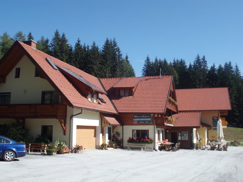

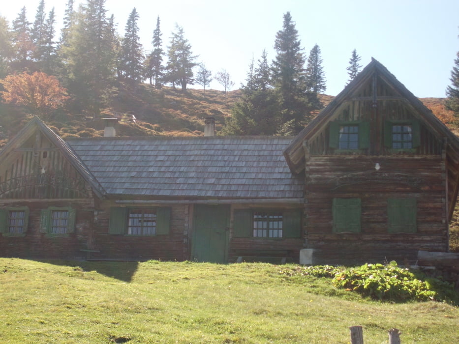
Die Saualpen-Tour führt von Marein weg im Uhrzeigersin zuerst in Richtung Völking Siegelsdorf weiter Richtung Lausing links weiter in Richtung Lading -Gießelhütte weiter Richtung Ladinger Alm...
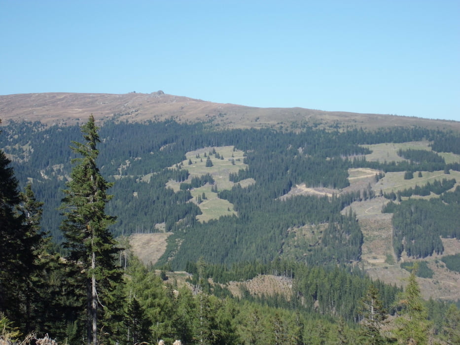
Auf der Ladinger-Alm angekommen kommt dann ca einen km eine Schiebebassage bergab,,,weiter gehts auf einem schönen Schotterweg bis nach Forst bis wir wieder zur Kreuzung kommen wo wir schon mal waren, und an einem schönen Radweg in ST Michael gehts wieder zurück nach Marein.. Lasst euch Zeit und geniesst die Landschaft die Saualpe ist sehr Sehenswerd...
Viel Spaß
Galeria trasy


Mapa trasy i profil wysokości
Minimum height 453 m
Maximum height 1749 m
More about the tour author
|
|
Mountainbikegirl |
Komentarze

GPS tracks
Trackpoints-
GPX / Garmin Map Source (gpx) download
-
TCX / Garmin Training Center® (tcx) download
-
CRS / Garmin Training Center® (crs) download
-
Google Earth (kml) download
-
G7ToWin (g7t) download
-
TTQV (trk) download
-
Overlay (ovl) download
-
Fugawi (txt) download
-
Kompass (DAV) Track (tk) download
-
Karta trasy (pdf) download
-
Original file of the author (gpx) download
More about the tour author
|
|
Mountainbikegirl |
Add to my favorites
Remove from my favorites
Edit tags
Open track
My score
Rate