

DIAMIR Trekking- und Naturrundreise vom Kailash zum Potala
Gesamtstrecke von Simikot (2950 m) nach Hilsa (3875 m) auf dem Weg von Nepal nach Tibet
Aufstieg 3700 Meter
Abstieg 2850 Meter
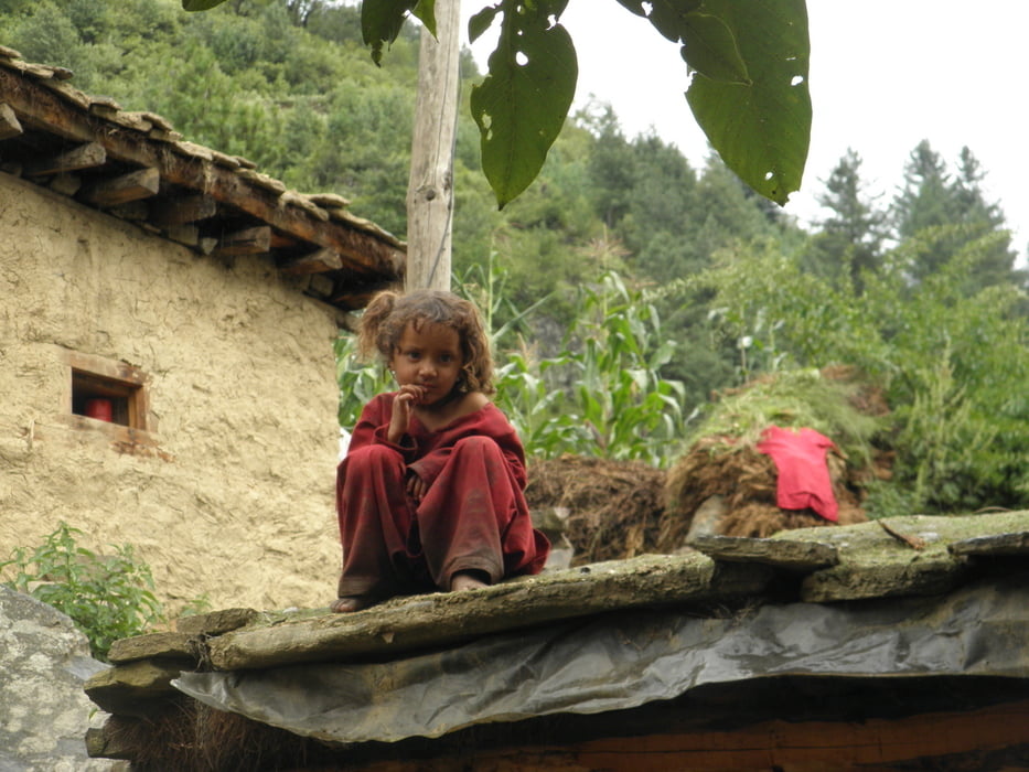
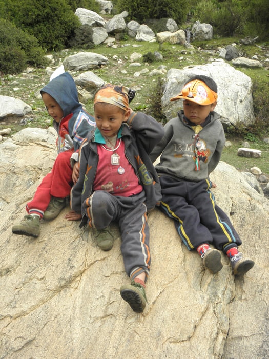
Galeria trasy


Mapa trasy i profil wysokości
Minimum height 2307 m
Maximum height 4551 m
More about the tour author

|
Emma |
Komentarze

GPS tracks
Trackpoints-
GPX / Garmin Map Source (gpx) download
-
TCX / Garmin Training Center® (tcx) download
-
CRS / Garmin Training Center® (crs) download
-
Google Earth (kml) download
-
G7ToWin (g7t) download
-
TTQV (trk) download
-
Overlay (ovl) download
-
Fugawi (txt) download
-
Kompass (DAV) Track (tk) download
-
Karta trasy (pdf) download
-
Original file of the author (gpx) download
More about the tour author
|
|
Emma |
Add to my favorites
Remove from my favorites
Edit tags
Open track
My score
Rate