Login

Zapomniałeś swój login?

Cookies have to be accepted!
Your browser's cookie functionality is disabled. Please enable this functionality.

Not a member yet?

Register now
Login

Available for registred users only

Log in to use this feature.

Zapomniałeś swój login?

Cookies have to be accepted!
Your browser's cookie functionality is disabled. Please enable this functionality.

Not a member yet?

Register now
Filter
Kategorie
Advanced filters
  • Długość (km)
  • Wysokość
Zapisz filtr Reset filter

TrackRank

QRCode

Technical data

Długość24,9 km Wysokość1000 m Way down1007 m Czas trwania3 days 0 h Data11.10.2011
Oceny Author Krajobraz Czynnik zadowolenia Kondycja Technika

Statystyka

896 Widoki Oceny 124 Downloads / Pliki do pobrania Przeciętnie
Rate
  • Karta trasy
  • Dojazd
  • Downloads / Pliki do pobrania

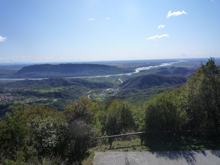
Fantatica corta escursione da effettuare in ogni stagione. Attraverserete delle vecchie strade di sassi e godrete un meraviglioso panorama che spazia dai colli Euganei al golfo di Trieste.

Provatelo non ve ne pentirete!!!!!

Galeria trasy

Mapa trasy i profil wysokości

  • Open Street Map
  • Google
Minimum height 142 m Maximum height 810 m Widok szczegółowy

More about the tour author

beccarol
Member since 2010

Send private message

Komentarze

Da Spilimbergo si segue la strada direzione Pinzano al Tagliamento e da qui per Anduins, dopo qualche chilometro si trova sulla destra la deviazione per Pontaiba. Si può parcheggiare nel piazzale del campo sportivo.

GPS tracks

Trackpoints
  • GPX / Garmin Map Source (gpx) download
  • TCX / Garmin Training Center® (tcx) download
  • CRS / Garmin Training Center® (crs) download
  • Google Earth (kml) download
  • G7ToWin (g7t) download
  • TTQV (trk) download
  • Overlay (ovl) download
  • Fugawi (txt) download
  • Kompass (DAV) Track (tk) download
  • Karta trasy (pdf) download
  • Original file of the author (gpx) download

More about the tour author

beccarol
Member since 2010

Send private message
Share track
Add to my favorites
Remove from my favorites
Edit tags
My score
Rate
Trasa: Vito d'Asio-Madonna della Neve da Pontaiba
Rodzaj: Rower górski (MTB)
Długość: 24,9 km
Evaluated on:
Czas trwania:
Day(s)
Hour(s)
Minute(s)
Ocena: Krajobraz Czynnik zadowolenia Kondycja Technika