

Schöne Biketour rund um Villingen.
Die Tour beinhaltet alle Wegbeschaffenheiten.
Auch die Freunde der Singletrails kommen auf ihre Kosten.
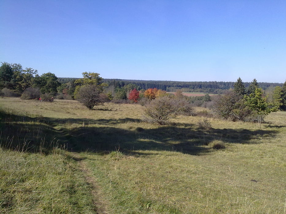
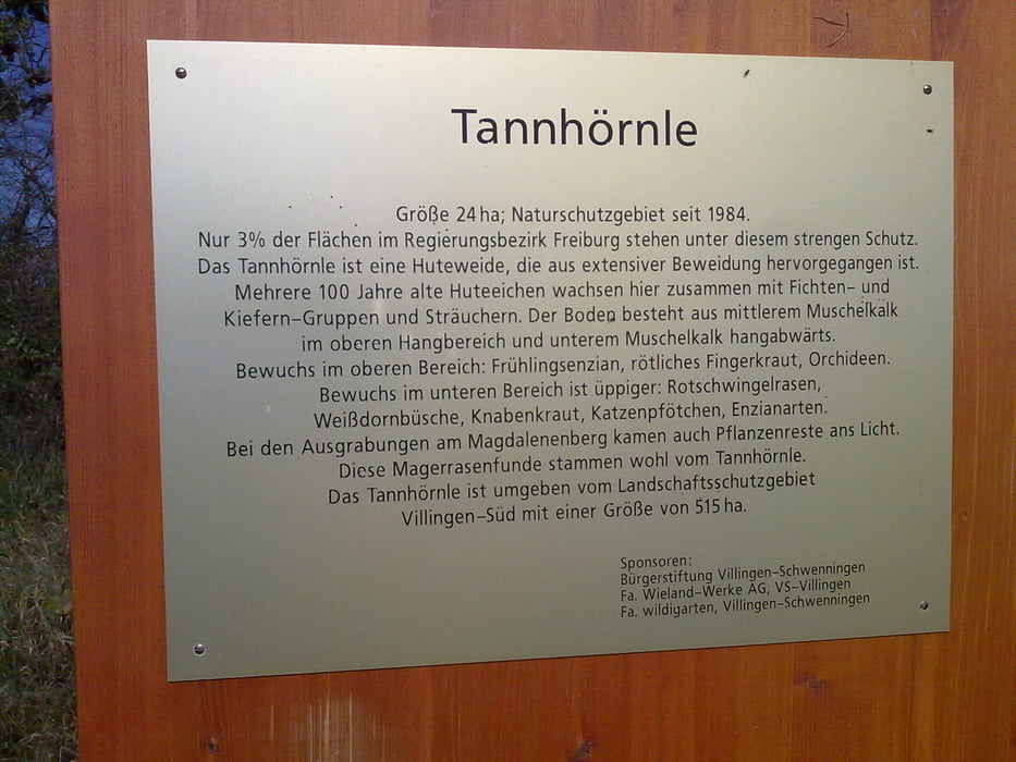
Gestartet wir in VS-Marbach weiter geht es über VS-Reitheim zum Naturschutzgebiet Tannhörnle. Wir tangieren VS-Pfaffenweiler und entlang von Wieselsbach und Warenbach geht es Richtung Friedengrund. Vorbei geht es nun am Wiesle und die Hammerhalde lassen wir rechts liegen. Der nächste markante Punkt ist das Kirnacher-Bahnhöfle von dort aus geht es durch den Germanswald zum Industriegebiet Vockenhausen. Über den höchsten Punkt von VS und der Gedenktafel des Hölzle Königs fahren wir zurück nach Marbach.
Viel Spaß beim Biken!
Further information at
http://www.villingen-schwenningen.de/Galeria trasy


Mapa trasy i profil wysokości
Minimum height 688 m
Maximum height 805 m
More about the tour author
|
|
Tom19 |
Komentarze

siehe Daten
GPS tracks
Trackpoints-
GPX / Garmin Map Source (gpx) download
-
TCX / Garmin Training Center® (tcx) download
-
CRS / Garmin Training Center® (crs) download
-
Google Earth (kml) download
-
G7ToWin (g7t) download
-
TTQV (trk) download
-
Overlay (ovl) download
-
Fugawi (txt) download
-
Kompass (DAV) Track (tk) download
-
Karta trasy (pdf) download
-
Original file of the author (gpx) download
More about the tour author
|
|
Tom19 |
Add to my favorites
Remove from my favorites
Edit tags
Open track
My score
Rate