Login

Zapomniałeś swój login?

Cookies have to be accepted!
Your browser's cookie functionality is disabled. Please enable this functionality.

Not a member yet?

Register now
Login

Available for registred users only

Log in to use this feature.

Zapomniałeś swój login?

Cookies have to be accepted!
Your browser's cookie functionality is disabled. Please enable this functionality.

Not a member yet?

Register now
Filter
Kategorie
Advanced filters
  • Długość (km)
  • Wysokość
Zapisz filtr Reset filter

TrackRank

QRCode

Technical data

Długość66,4 km Wysokość1331 m Way down1305 m Czas trwania03:45 h:m Data16.10.2011
Oceny Author Krajobraz Czynnik zadowolenia Kondycja Technika

Statystyka

262 Widoki Oceny 25 Downloads / Pliki do pobrania Przeciętnie
Rate
  • Karta trasy
  • Dojazd
  • Downloads / Pliki do pobrania
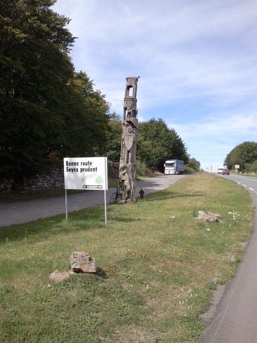
Nette Runde durch den Naturpark Haut-Languedoc. Sehr schöne Ausblicke über die Chevennen, nette schmale Nebenstraßen ohne viel Verkehr.

Further information at

http://www.parc-haut-languedoc.fr/

Galeria trasy

Mapa trasy i profil wysokości

  • Open Street Map
  • Google
Minimum height 276 m Maximum height 966 m Widok szczegółowy

More about the tour author

Struwe
Member since 2007

Send private message

Komentarze


Start war in Saint Pons de Thomieres


GPS tracks

Trackpoints
  • GPX / Garmin Map Source (gpx) download
  • TCX / Garmin Training Center® (tcx) download
  • CRS / Garmin Training Center® (crs) download
  • Google Earth (kml) download
  • G7ToWin (g7t) download
  • TTQV (trk) download
  • Overlay (ovl) download
  • Fugawi (txt) download
  • Kompass (DAV) Track (tk) download
  • Karta trasy (pdf) download
  • Original file of the author (gpx) download

More about the tour author

Struwe
Member since 2007

Send private message
Share track
Add to my favorites
Remove from my favorites
Edit tags
My score
Rate
Trasa: Saint Pons-La Salvetat
Rodzaj: Rower szosowy
Długość: 66,4 km
Evaluated on:
Czas trwania:
Day(s)
Hour(s)
Minute(s)
Ocena: Krajobraz Czynnik zadowolenia Kondycja Technika