Login

Zapomniałeś swój login?

Cookies have to be accepted!
Your browser's cookie functionality is disabled. Please enable this functionality.

Not a member yet?

Register now
Login

Available for registred users only

Log in to use this feature.

Zapomniałeś swój login?

Cookies have to be accepted!
Your browser's cookie functionality is disabled. Please enable this functionality.

Not a member yet?

Register now
Filter
Kategorie
Advanced filters
  • Długość (km)
  • Wysokość
Zapisz filtr Reset filter

TrackRank

QRCode

Technical data

Długość28,6 km Wysokość815 m Way down716 m Czas trwania02:15 h:m Data16.10.2011
Oceny Author Krajobraz Czynnik zadowolenia Kondycja Technika

Statystyka

210 Widoki Oceny 17 Downloads / Pliki do pobrania Przeciętnie
Rate
  • Karta trasy
  • Dojazd
  • Downloads / Pliki do pobrania
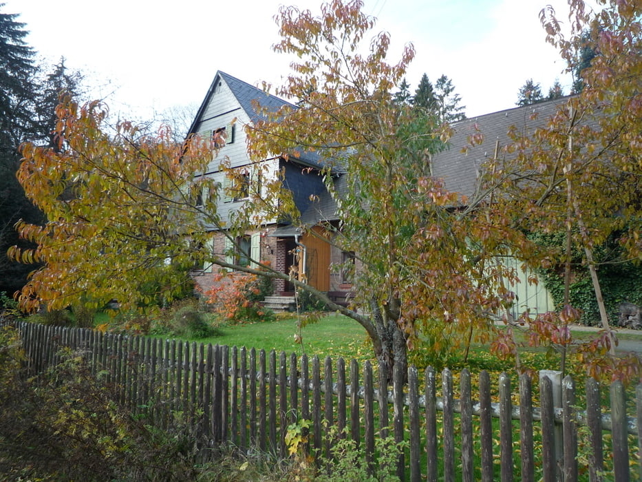
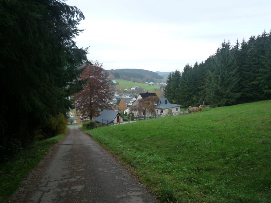
Wir  fahren von Oberroßbach aus am Sportplatz vorbei auf das Weitefeld.Jetzt machen wir einen Abstecher zum Wissenbacher Forsthaus, und bergauf zum alten Wissenbacher Sportplatz . Weiter geht es bergab  nach Eibelshausen und bergauf zur Wilhelmswarte.Zurück geht es oberhalb von Ewersbach am Kohlplatz vorbei,über die Landstraße hoch zu den Tennisplätzen und weiter zum Herzogsweg.Nun noch eine schönen Abfahrt bis oberhalb von Offdilln und weiter durch die Dillberge ins Roßbachtal.

Galeria trasy

Mapa trasy i profil wysokości

  • Open Street Map
  • Google
Minimum height 228 m Maximum height 514 m Widok szczegółowy

More about the tour author

baumgarten
Member since 2010

Send private message

Komentarze

GPS tracks

Trackpoints
  • GPX / Garmin Map Source (gpx) download
  • TCX / Garmin Training Center® (tcx) download
  • CRS / Garmin Training Center® (crs) download
  • Google Earth (kml) download
  • G7ToWin (g7t) download
  • TTQV (trk) download
  • Overlay (ovl) download
  • Fugawi (txt) download
  • Kompass (DAV) Track (tk) download
  • Karta trasy (pdf) download
  • Original file of the author (gpx) download

More about the tour author

baumgarten
Member since 2010

Send private message
Share track
Add to my favorites
Remove from my favorites
Edit tags
My score
Rate
Trasa: Vom Roßbachtal auf die Wilhelmswarte
Rodzaj: Rower górski (MTB)
Długość: 28,6 km
Evaluated on:
Czas trwania:
Day(s)
Hour(s)
Minute(s)
Ocena: Krajobraz Czynnik zadowolenia Kondycja Technika