


Schöne Tour durch die Eifel bei Sinzig-Ramersbach mit Cross-Country Charakter. Wer mal so richtig Gas geben möchte, ist hier richtig. Anspruchsvolle Singletrails gibt es hier zwar nicht (überwiegend breitere Forst- und Waldwege), dass permanente Auf-und-Ab zieht aber deutlich an den "Körnern".
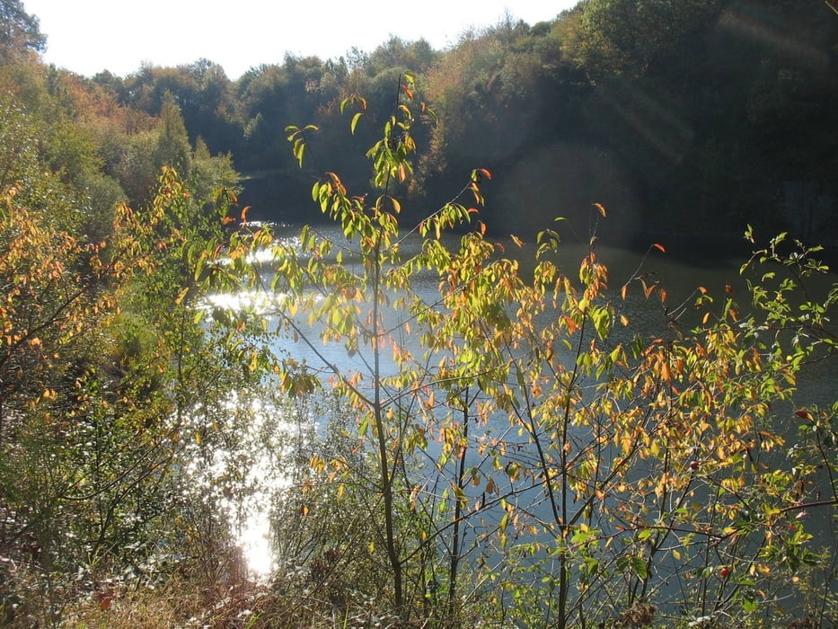
Es geht zu Anfangs durch nette kleine Täler, vorbei am "Amerikaner", der Burg Olbrück (in Sichtweite), dem Rodder Maar sowie dem Königssee.
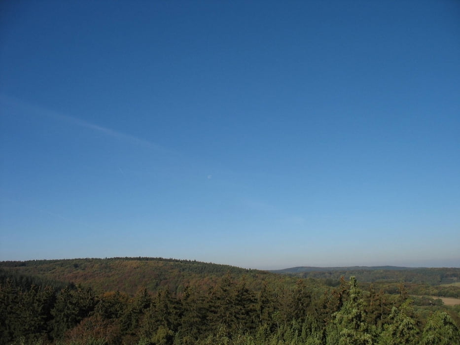
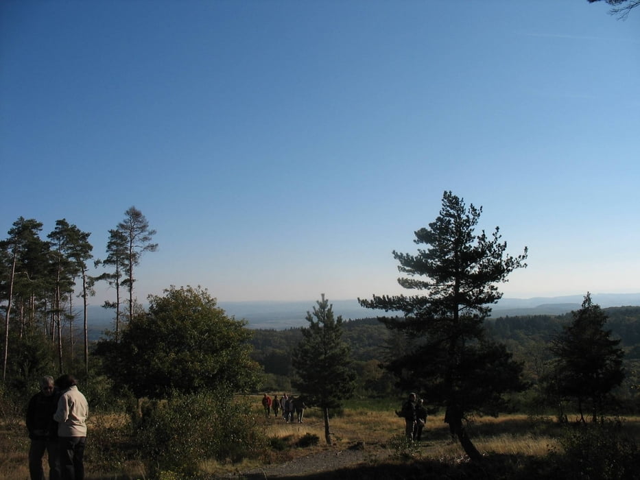
Zwischendurch immer wieder tolle Fernsichten über die Eifel. Eine perfekte Sonntags-Herbst-Eifel-Tour!
Galeria trasy

Mapa trasy i profil wysokości
Minimum height 134 m
Maximum height 578 m
More about the tour author
|
|
Rotolog |
Komentarze

Von Bonn kommend über die A61 bis Dreieck Sinzig. Dann auf A571 Richtung Löhndorf; erste Ausfahrt direkt raus. Rechts in die Straße "Auf der Albach". Parkplatz suchen und los!
GPS tracks
Trackpoints-
GPX / Garmin Map Source (gpx) download
-
TCX / Garmin Training Center® (tcx) download
-
CRS / Garmin Training Center® (crs) download
-
Google Earth (kml) download
-
G7ToWin (g7t) download
-
TTQV (trk) download
-
Overlay (ovl) download
-
Fugawi (txt) download
-
Kompass (DAV) Track (tk) download
-
Karta trasy (pdf) download
-
Original file of the author (gpx) download
More about the tour author
|
|
Rotolog |
Add to my favorites
Remove from my favorites
Edit tags
Open track
My score
Rate