


Treffpunkt war die S-Bahn-Haltestelle Bad Honnef - Rhöndorf, wo wir den Bus weiter nach Bad Honnef-Selhof (Martinskapelle ) nahmen.
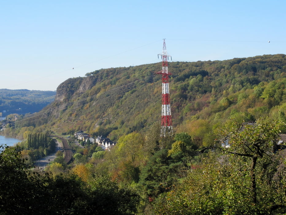
Ab Selhof ging es dann an der Jugendherberge vorbei zum "Auge Gottes" und von da auf kleineren Pfaden zum Kasbachtal, das wir allerdings nur gequert haben, um über die Höhen von Ohlenberg zur Burg Ockenfels zu gelangen. In Ockenfels hat sich unsere Gruppe geteilt. Während die Hauptgruppe in Richtung Erpeler Ley abbog folgten wir dem Rheinsteig hinunter nach Linz, um auf dem Marktplatz bei einem Kaffee die wärmende Herbstsonne zu genießen.
Zurück ging es mit dem Regional Express (2 x pro Stunde).
Die Tour bietet von allem etwas - Wald, Streuobstwiesen, Bachtäler und tolle Aussichten.
PS: zu dieser Tour hatte Andrea eingeladen.
Further information at
http://www.ich-geh-wandern.de/linz-am-rheinGaleria trasy


Mapa trasy i profil wysokości
Minimum height -38 m
Maximum height 300 m
More about the tour author
|
|
ds5 |
Komentarze

Anfahrt mit dem Auto oder der Bahn zum Bahnhof in Rhöndorf.
GPS tracks
Trackpoints-
GPX / Garmin Map Source (gpx) download
-
TCX / Garmin Training Center® (tcx) download
-
CRS / Garmin Training Center® (crs) download
-
Google Earth (kml) download
-
G7ToWin (g7t) download
-
TTQV (trk) download
-
Overlay (ovl) download
-
Fugawi (txt) download
-
Kompass (DAV) Track (tk) download
-
Karta trasy (pdf) download
-
Original file of the author (gpx) download
More about the tour author
|
|
ds5 |
Add to my favorites
Remove from my favorites
Edit tags
Open track
My score
Rate