


Eine Traumtour- v.a. bei dem Wetter, das wir hatten!
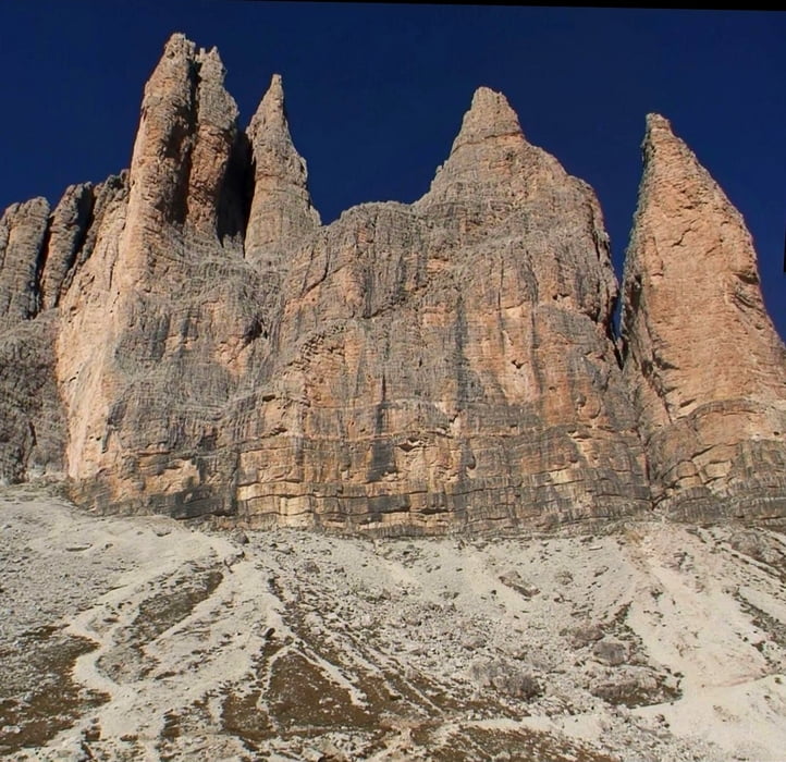
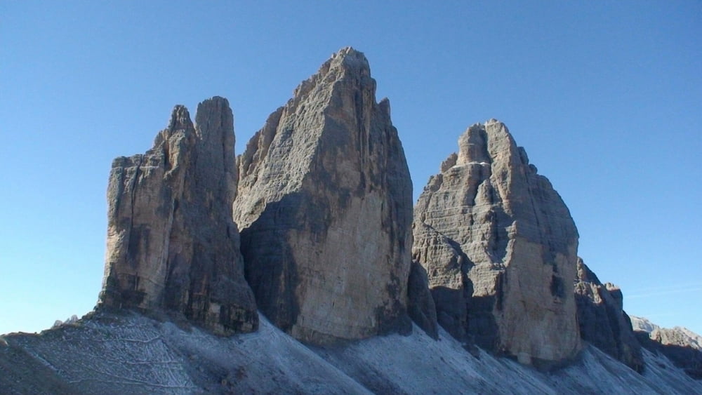
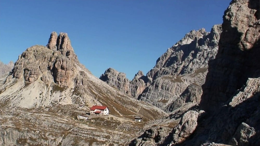
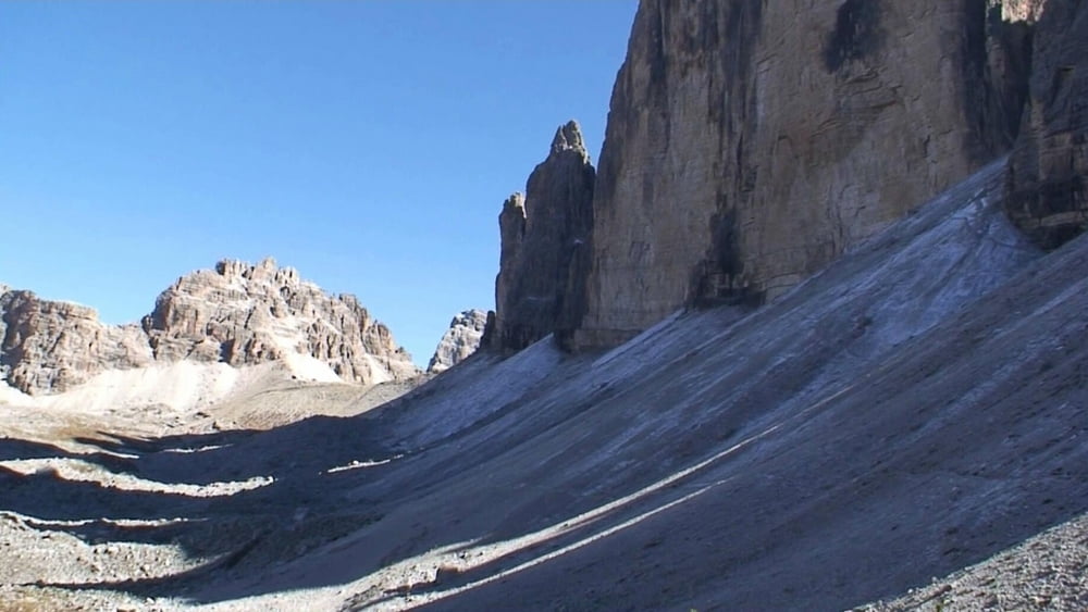
Von der Auronzo- Hütte auf bequemem Weg an Ostflanke der gewaltig aufragenden Drei Zinnen vorbei, auf dem höher gelegenen Weg zur "Drei-Zinnen-Hütte" (Rifugio de Locatelli), kräftig bergab zu einem Kessel und aufwärts an einer Hütte (Einkehr) vorbei zum Pass "Col de Mezzo" und zur Auronzo- Hütte zurück.
Galeria trasy

Mapa trasy i profil wysokości
Minimum height 2173 m
Maximum height 2452 m
More about the tour author
|
|
heinz-57 |
Komentarze

Google Earth: 46.612392° / 46.612392°
Vom Brenner kommend hinter Franzensfeste links durch das Pustertal nach Toblach, davor rechts ab bis kurz vor Misurina. Links ab zur Mautstraße auf die Auronzo- Hütte.
GPS tracks
Trackpoints-
GPX / Garmin Map Source (gpx) download
-
TCX / Garmin Training Center® (tcx) download
-
CRS / Garmin Training Center® (crs) download
-
Google Earth (kml) download
-
G7ToWin (g7t) download
-
TTQV (trk) download
-
Overlay (ovl) download
-
Fugawi (txt) download
-
Kompass (DAV) Track (tk) download
-
Karta trasy (pdf) download
-
Original file of the author (gpx) download
More about the tour author
|
|
heinz-57 |
Add to my favorites
Remove from my favorites
Edit tags
Open track
My score
Rate