


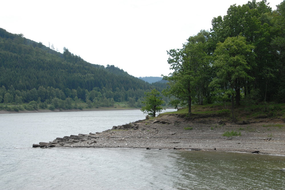
Einfache, aber landschaftlich schöne Wanderung ohne größere Steigungen um den Stausee der Innerste im Harz. Vom Parkplatz zunächst auf einer ehemaligen Bahntrasse nach Südost, dann nach Überquerung einer mäßig befahrenen Landstraße auf gutem Forstweg im Uhrzeigersinn um den Stausee. Zum Schluss über die am Nordende gelegene Staumauer und wieder ein Stück auf der ehemaligen Bahntrasse zum Parkplatz.
Galeria trasy

Mapa trasy i profil wysokości
Minimum height 255 m
Maximum height 278 m
More about the tour author

|
warafi |
Komentarze

Parkplatz an der Straße von Langelsheim (Kreis Goslar) nach Lautenthal/Bad Grund, etwa in der Mitte des Stausees.
GPS tracks
Trackpoints-
GPX / Garmin Map Source (gpx) download
-
TCX / Garmin Training Center® (tcx) download
-
CRS / Garmin Training Center® (crs) download
-
Google Earth (kml) download
-
G7ToWin (g7t) download
-
TTQV (trk) download
-
Overlay (ovl) download
-
Fugawi (txt) download
-
Kompass (DAV) Track (tk) download
-
Karta trasy (pdf) download
-
Original file of the author (gpx) download
More about the tour author
|
|
warafi |
Add to my favorites
Remove from my favorites
Edit tags
Open track
My score
Rate