


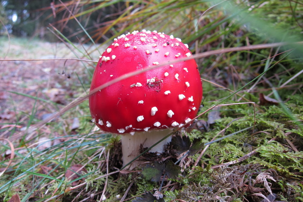
Das Wurzacher Ried ist mit 1812 ha eines der größten Naturschutzgebiete in Baden - Württemberg und ist zu jeder Jahreszeit eine Wanderung wert.
Die Tour verläuft auf guten Wegen, federnde Torfpfade, Bohlen mit Aussichtspunkten, Wiesen und Feldwege, geringer Teeranteil.
Einkehrmöglichkeit gibt es beim Wurzelsepp.
Further information at
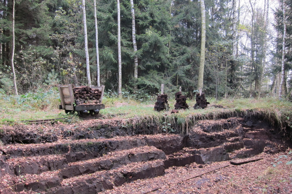
http://www.bad-wurzach.de/index.php?bereich=Tourismus&rubrik=NAZ___Wurzacher_Ried&artikel=torfmuseumGaleria trasy


Mapa trasy i profil wysokości
Minimum height 649 m
Maximum height 662 m
More about the tour author
|
|
W-C |
Komentarze

Von Bad Wurzach kommend auf der B 465, ist auf der linken Seite ein kleiner Wanderparkplatz. (gebührenfrei)
Parkplatz - Koordinaten für dein Navigationsgerät
N 47° 54. 865´
E 9° 53. 432´
GPS tracks
Trackpoints-
GPX / Garmin Map Source (gpx) download
-
TCX / Garmin Training Center® (tcx) download
-
CRS / Garmin Training Center® (crs) download
-
Google Earth (kml) download
-
G7ToWin (g7t) download
-
TTQV (trk) download
-
Overlay (ovl) download
-
Fugawi (txt) download
-
Kompass (DAV) Track (tk) download
-
Karta trasy (pdf) download
-
Original file of the author (gpx) download
More about the tour author
|
|
W-C |
Add to my favorites
Remove from my favorites
Edit tags
Open track
My score
Rate