


Einer der kürzesten Wege zum 2003 neu errichteten Kellerwaldturm. Die Aussichtsplattform befindet sich auf 700 Meter Höhe ü.N.N. und bietet einen herrlichen Ausblick. So kann man am 10.Okt.2004 über die herbstlich gefärbten Buchen hinweg Wichdorf und Niedenstein in der Ferne erkennen und am Horizont sogar den 40 km entfernten Herkules.
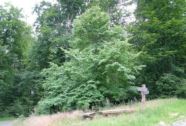
Trackverlauf: Parkplatz Kellerhute (km 0) - Rote Waldameisen (km 1,0) - Exhelmer Steine (km 3,1)- Mausefalle (km 3,5) - Kellerwaldturm (km 4,1) - Fliegerlinde (km 4,8) - Parkplatz Kellerhute (km 6,7)
umgekehrter Trackverlauf: Parkplatz Kellerhute (km 0) - Fliegerlinde (km 2,0) - Kellerwaldturm (km 2,6) - Mausefalle (km 3,2) - Exhelmer Steine (km 3,7) - Rote Waldameisen (km 5,7) - Parkplatz Kellerhute (km 6,7)
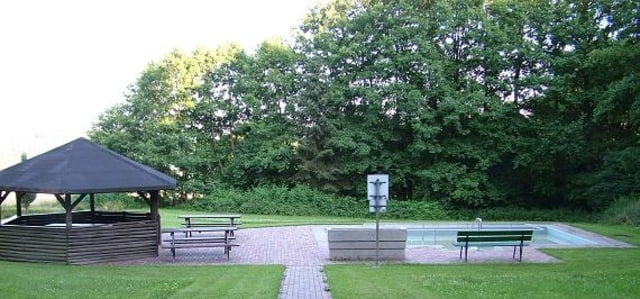
Tipp: Vom Parkplatz Kellerhute sind es nur 300 Meter zum Wassertretbecken, wo man außer Kneipp auch schön Picknick machen kann.
Letzte Aktualisierung: 06. Juli 2008
Kommentare oder Nachrichten erwünscht
Further information at
http://www.gemeinde-jesberg.de/w3a/cms/Freizeit_und_Tourismus/index.158.htmlGaleria trasy


Mapa trasy i profil wysokości
Minimum height 357 m
Maximum height 700 m
More about the tour author

|
Martin |
Komentarze
In der Ortsmitte von Densberg von der Hauptstraße aus in die Ringwallstraße einbiegen. Zur Orientierungshilfe stehen hier auch große Hinweistafeln aus Holz. Nach 950 Metern erreichen Sie am Waldrand den Parkplatz Kellerhute.
GPS tracks
Trackpoints-
GPX / Garmin Map Source (gpx) download
-
TCX / Garmin Training Center® (tcx) download
-
CRS / Garmin Training Center® (crs) download
-
Google Earth (kml) download
-
G7ToWin (g7t) download
-
TTQV (trk) download
-
Overlay (ovl) download
-
Fugawi (txt) download
-
Kompass (DAV) Track (tk) download
-
Karta trasy (pdf) download
-
Original file of the author (gpx) download
More about the tour author
|
|
Martin |
Add to my favorites
Remove from my favorites
Edit tags
Open track
My score
Rate
Kommentare
ich