Login

Zapomniałeś swój login?

Cookies have to be accepted!
Your browser's cookie functionality is disabled. Please enable this functionality.

Not a member yet?

Register now
Login

Available for registred users only

Log in to use this feature.

Zapomniałeś swój login?

Cookies have to be accepted!
Your browser's cookie functionality is disabled. Please enable this functionality.

Not a member yet?

Register now
Filter
Kategorie
Advanced filters
  • Długość (km)
  • Wysokość
Zapisz filtr Reset filter

TrackRank

QRCode

Technical data

Długość9,7 km Wysokość18 m Way down54 m Czas trwania00:00 h:m Data24.10.2011
Oceny Author Krajobraz Czynnik zadowolenia Kondycja Technika

Statystyka

1269 Widoki Oceny 20 Downloads / Pliki do pobrania Przeciętnie
Rate
  • Karta trasy
  • Dojazd
  • Downloads / Pliki do pobrania

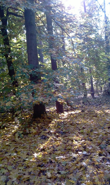
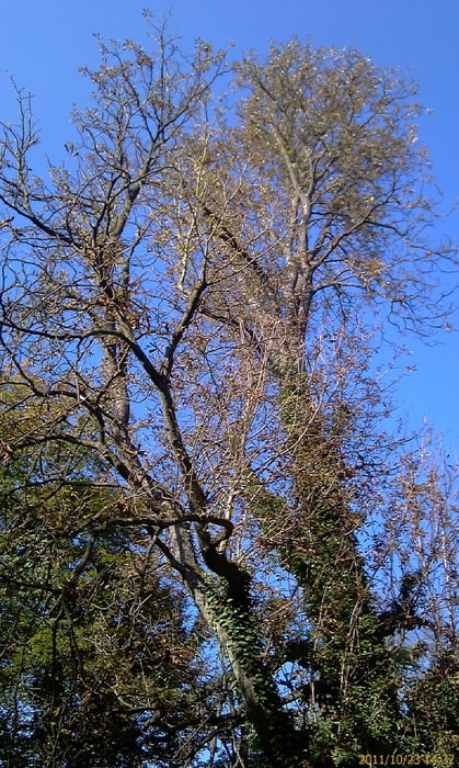
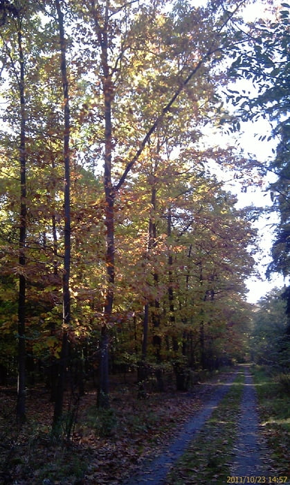
Kleine Sonntagsrunde durch den Hardtwald.

Ausgangspunkt Stutensee/Friedrichstal. Von hier aus in Richtung Südwesten zum ehemaligen Forschungszentrum heute KIT. Von dort aus entlang des Hirschkanal in Richtung Graben. In der Höhe von Friedrichtstal wieder abbiegen. Leichte Wanderung durch den herbstlichen Wald.

 Anmerkung: Höhenangaben stimmen nicht.

Galeria trasy

Mapa trasy i profil wysokości

  • Open Street Map
  • Google
Minimum height 53 m Maximum height 99 m Widok szczegółowy

More about the tour author

Albert59
Member since 2011

Send private message

Komentarze

GPS tracks

Trackpoints
  • GPX / Garmin Map Source (gpx) download
  • TCX / Garmin Training Center® (tcx) download
  • CRS / Garmin Training Center® (crs) download
  • Google Earth (kml) download
  • G7ToWin (g7t) download
  • TTQV (trk) download
  • Overlay (ovl) download
  • Fugawi (txt) download
  • Kompass (DAV) Track (tk) download
  • Karta trasy (pdf) download
  • Original file of the author (tcx) download

More about the tour author

Albert59
Member since 2011

Send private message
Share track
Add to my favorites
Remove from my favorites
Edit tags
My score
Rate
Trasa: Kleine Sonntagsrunde durch den Hardtwald
Rodzaj: Wędrówki
Długość: 9,7 km
Evaluated on:
Czas trwania:
Day(s)
Hour(s)
Minute(s)
Ocena: Krajobraz Czynnik zadowolenia Kondycja Technika