Login

Zapomniałeś swój login?

Cookies have to be accepted!
Your browser's cookie functionality is disabled. Please enable this functionality.

Not a member yet?

Register now
Login

Available for registred users only

Log in to use this feature.

Zapomniałeś swój login?

Cookies have to be accepted!
Your browser's cookie functionality is disabled. Please enable this functionality.

Not a member yet?

Register now
Filter
Kategorie
Advanced filters
  • Długość (km)
  • Wysokość
Zapisz filtr Reset filter

TrackRank

QRCode

Technical data

Długość6,8 km Wysokość150 m Way down150 m Czas trwania01:40 h:m Data30.10.2011
Oceny Author User Krajobraz Czynnik zadowolenia Kondycja Technika

Statystyka

696 Widoki 1 Ocena 78 Downloads / Pliki do pobrania 5.00 Przeciętnie
Rate
  • Karta trasy
  • Dojazd
  • Downloads / Pliki do pobrania

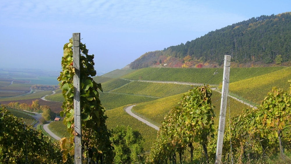
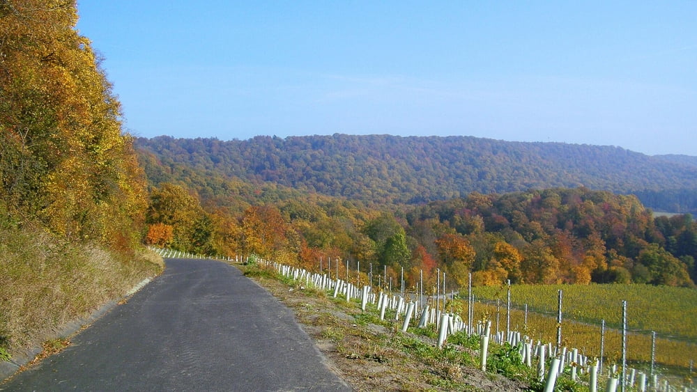
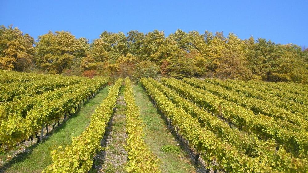
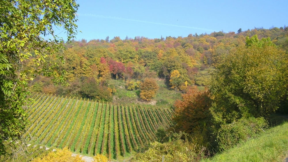
Die Tour ist nur ein Beispiel: man kann hier kilometerweit auf verschiedenen Höhenstufen laufen und genießen!

Parken: irgendwo- Laufen: irgendwo :-)

Galeria trasy

Mapa trasy i profil wysokości

  • Open Street Map
  • Google
Minimum height 315 m Maximum height 388 m Widok szczegółowy

More about the tour author

heinz-57
Member since 2009

Send private message

Komentarze

Auf der B8 von Nürnberg oder Würzburg kommend nach Iphofen abbiegen. Durch den reizvollen Ort mit vielen "Wein- Probier- Möglichkeiten" Richtung Rödelsee. Rechts ab auf dem "Schwanbergweg".

GPS tracks

Trackpoints
  • GPX / Garmin Map Source (gpx) download
  • TCX / Garmin Training Center® (tcx) download
  • CRS / Garmin Training Center® (crs) download
  • Google Earth (kml) download
  • G7ToWin (g7t) download
  • TTQV (trk) download
  • Overlay (ovl) download
  • Fugawi (txt) download
  • Kompass (DAV) Track (tk) download
  • Karta trasy (pdf) download
  • Original file of the author (gpx) download

More about the tour author

heinz-57
Member since 2009

Send private message
Share track
Add to my favorites
Remove from my favorites
Edit tags
My score
Rate
Trasa: Wandern Franken:Iphofen-Schwanbergwege im Herbstlaub
Rodzaj: Wędrówki
Długość: 6,8 km
Evaluated on:
Czas trwania:
Day(s)
Hour(s)
Minute(s)
Ocena: Krajobraz Czynnik zadowolenia Kondycja Technika