Login

Zapomniałeś swój login?

Cookies have to be accepted!
Your browser's cookie functionality is disabled. Please enable this functionality.

Not a member yet?

Register now
Login

Available for registred users only

Log in to use this feature.

Zapomniałeś swój login?

Cookies have to be accepted!
Your browser's cookie functionality is disabled. Please enable this functionality.

Not a member yet?

Register now
Filter
Kategorie
Advanced filters
  • Długość (km)
  • Wysokość
Zapisz filtr Reset filter

TrackRank

QRCode

Technical data

Długość49,3 km Wysokość1068 m Way down1089 m Czas trwania05:00 h:m Data30.10.2011
Oceny Author Krajobraz Czynnik zadowolenia Kondycja Technika

Statystyka

1071 Widoki Oceny 132 Downloads / Pliki do pobrania Przeciętnie
Rate
  • Karta trasy
  • Dojazd
  • Downloads / Pliki do pobrania

Von Pregarten Richtung Norden der Feldaist entlang. Bei der Klammühle vorbei bis nach Kefermarkt und über die Burg Dornach weiter nach Lasberg und rauf auf den Braunberg. Einkehr bei der Braunberghütte auf 902 m. Retour über Witzelsberg - Gsteinet - Edt - über die Schafflmühle nach Reichenstein und zurück nach Pregarten.

Monika - Herbert - Karl - Christian 
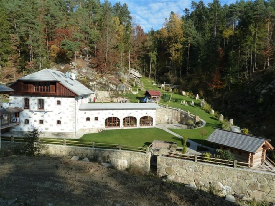
Galeria trasy

Mapa trasy i profil wysokości

  • Open Street Map
  • Google
Minimum height 248 m Maximum height 909 m Widok szczegółowy

More about the tour author

chp
Member since 2010

Send private message

Komentarze

GPS tracks

Trackpoints
  • GPX / Garmin Map Source (gpx) download
  • TCX / Garmin Training Center® (tcx) download
  • CRS / Garmin Training Center® (crs) download
  • Google Earth (kml) download
  • G7ToWin (g7t) download
  • TTQV (trk) download
  • Overlay (ovl) download
  • Fugawi (txt) download
  • Kompass (DAV) Track (tk) download
  • Karta trasy (pdf) download
  • Original file of the author (gpx) download

More about the tour author

chp
Member since 2010

Send private message
Share track
Add to my favorites
Remove from my favorites
Edit tags
My score
Rate
Trasa: Feldaist-Braunberg-Waldaist_20111030
Rodzaj: Rower górski (MTB)
Długość: 49,3 km
Evaluated on:
Czas trwania:
Day(s)
Hour(s)
Minute(s)
Ocena: Krajobraz Czynnik zadowolenia Kondycja Technika