


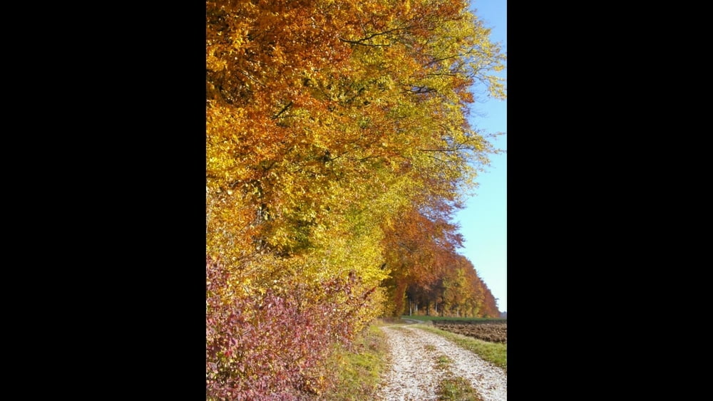
Eine ziemlich eben verlaufende Wanderung, fast ohne Schatten- ideal im Herbst!
Vom Parkplatz nach Westen aus dem Ort heraus, an der 2. Haltestelle links, am Querweg rechts, kurz nach Rechtskurve vor Wohlmuthshüll links zum Waldrand, rechts ab, links um die Waldspitze und am Waldrand entlang nach Buckenreuth. Im Ort auf der kleinen Straße links ab Richtung Moggast. An Kreuzung an Waldspitzen geradeaus am Wald entlang, links ab zum Abzweig vom Herweg und auf gleichem Weg zurück.
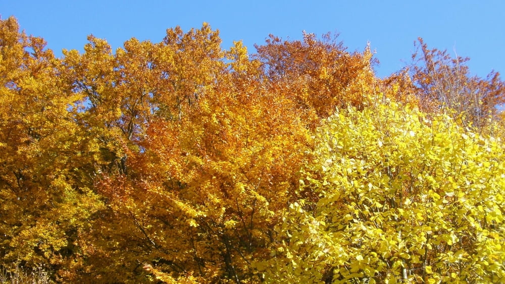
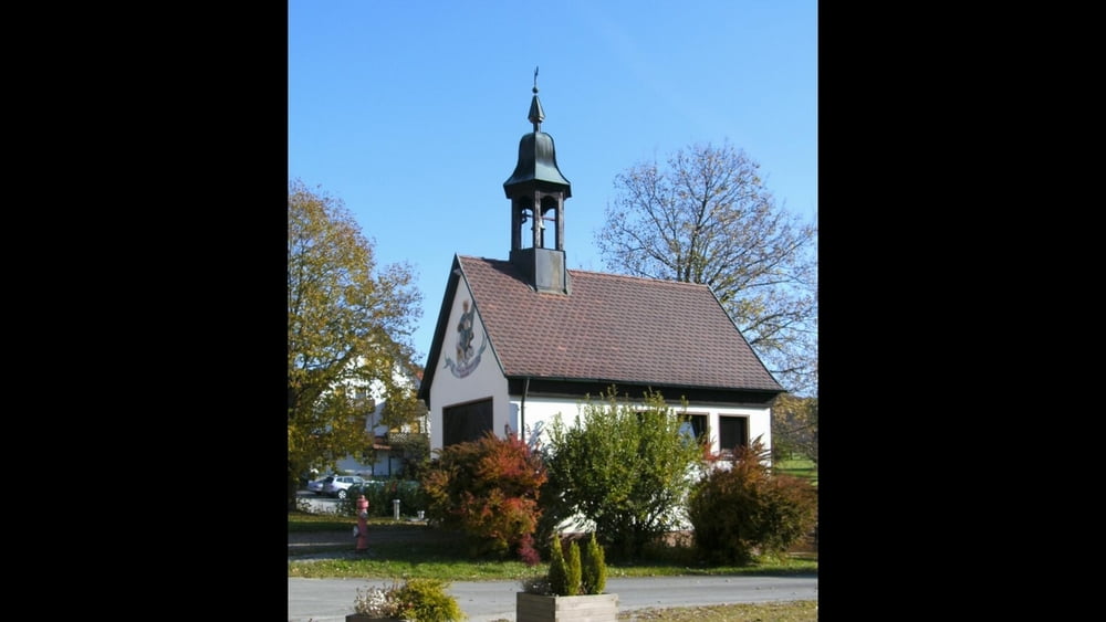
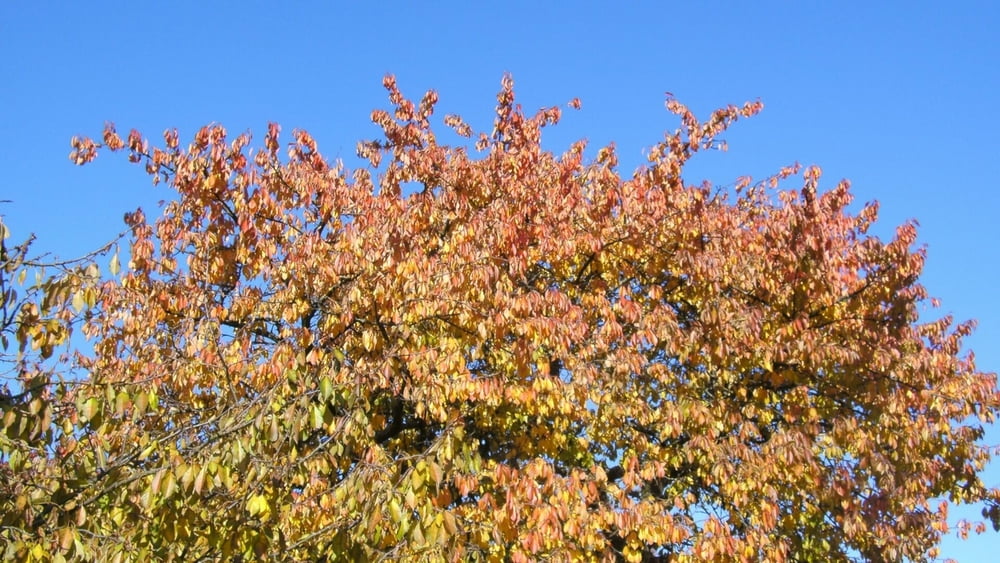
Galeria trasy

Mapa trasy i profil wysokości
Minimum height 467 m
Maximum height 529 m
More about the tour author
|
|
heinz-57 |
Komentarze

Google Earth: N 49.776877° / E 11.247912°
Von Forchheim kommend am Ortsende von Ebermannstadt rechts ab nach Kanndorf. In Ortsmitte am Golfplatz Parkmöglichkeit
GPS tracks
Trackpoints-
GPX / Garmin Map Source (gpx) download
-
TCX / Garmin Training Center® (tcx) download
-
CRS / Garmin Training Center® (crs) download
-
Google Earth (kml) download
-
G7ToWin (g7t) download
-
TTQV (trk) download
-
Overlay (ovl) download
-
Fugawi (txt) download
-
Kompass (DAV) Track (tk) download
-
Karta trasy (pdf) download
-
Original file of the author (gpx) download
More about the tour author
|
|
heinz-57 |
Add to my favorites
Remove from my favorites
Edit tags
Open track
My score
Rate