Login

Zapomniałeś swój login?

Cookies have to be accepted!
Your browser's cookie functionality is disabled. Please enable this functionality.

Not a member yet?

Register now
Login

Available for registred users only

Log in to use this feature.

Zapomniałeś swój login?

Cookies have to be accepted!
Your browser's cookie functionality is disabled. Please enable this functionality.

Not a member yet?

Register now
Filter
Kategorie
Advanced filters
  • Długość (km)
  • Wysokość
Zapisz filtr Reset filter

TrackRank

QRCode

Technical data

Długość10,7 km Wysokość399 m Way down426 m Czas trwania02:00 h:m Data31.10.2011
Oceny Author Krajobraz Czynnik zadowolenia Kondycja Technika

Statystyka

10476 Widoki Oceny 128 Downloads / Pliki do pobrania Przeciętnie
Rate
  • Karta trasy
  • Dojazd
  • Downloads / Pliki do pobrania
Haben die Tour anhand einer bestehenden Beschreibung durchgeführt, deshalb gehe ich auch nicht weiter auf Details ein. Ausführliche Beschreibung unter weiterführende Links (besser hätte ich es auch nicht machen können).

Further information at

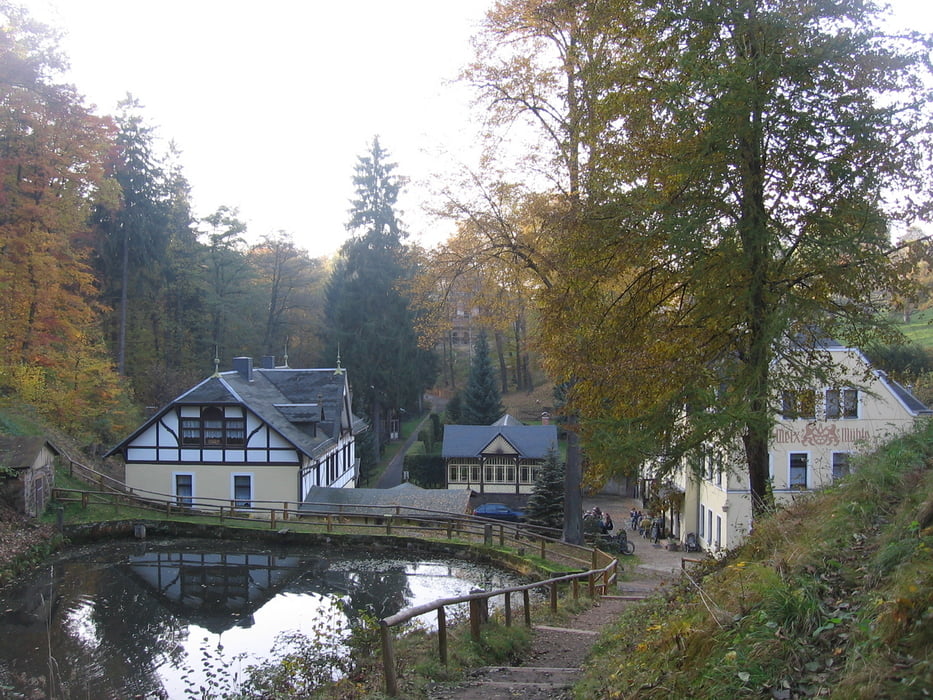
http://bunix.de/key/bunix-blog/title/2010-04-05-WanderungPillnitzBorsbergMeixmhleFriedrichsgrund.htm

Galeria trasy

Mapa trasy i profil wysokości

  • Open Street Map
  • Google
Minimum height 143 m Maximum height 411 m Widok szczegółowy

More about the tour author

Matrik
Member since 2010

Send private message

Komentarze

GPS tracks

Trackpoints
  • GPX / Garmin Map Source (gpx) download
  • TCX / Garmin Training Center® (tcx) download
  • CRS / Garmin Training Center® (crs) download
  • Google Earth (kml) download
  • G7ToWin (g7t) download
  • TTQV (trk) download
  • Overlay (ovl) download
  • Fugawi (txt) download
  • Kompass (DAV) Track (tk) download
  • Karta trasy (pdf) download
  • Original file of the author (gpx) download

More about the tour author

Matrik
Member since 2010

Send private message
Share track
Add to my favorites
Remove from my favorites
Edit tags
My score
Rate
Trasa: Pillnitz - Borsberg - Friedrichsgrund
Rodzaj: Wędrówki
Długość: 10,7 km
Evaluated on:
Czas trwania:
Day(s)
Hour(s)
Minute(s)
Ocena: Krajobraz Czynnik zadowolenia Kondycja Technika