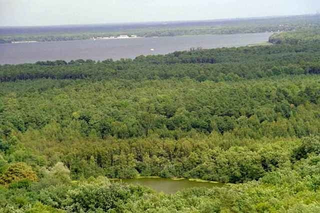
Eine Variante um die Müggelberge bzw. Müggelsee:
Es geht durch die Ortsteile Friedrichshagen(gute Einkehrmöglichkeiten), Wendenschloss, Müggelheim und Rahnsdorf(Klein Venedig). Meist asphaltierte Waldwege.
Es geht durch die Ortsteile Friedrichshagen(gute Einkehrmöglichkeiten), Wendenschloss, Müggelheim und Rahnsdorf(Klein Venedig). Meist asphaltierte Waldwege.
Further information at
http://www.koepenick.net/mueggelberge.htmMapa trasy i profil wysokości
Minimum height 19 m
Maximum height 58 m
Komentarze

Mit der Berliner S-Bahn, Bahnhöfe Friedrichshagen oder Rahnsdorf.
GPS tracks
Trackpoints-
GPX / Garmin Map Source (gpx) download
-
TCX / Garmin Training Center® (tcx) download
-
CRS / Garmin Training Center® (crs) download
-
Google Earth (kml) download
-
G7ToWin (g7t) download
-
TTQV (trk) download
-
Overlay (ovl) download
-
Fugawi (txt) download
-
Kompass (DAV) Track (tk) download
-
Karta trasy (pdf) download
-
Original file of the author (gpx) download
Add to my favorites
Remove from my favorites
Edit tags
Open track
My score
Rate

