
")

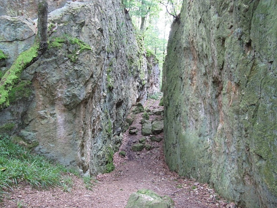
Die Route ist als Geopark-Pfad mit einem gelben "L" markiert und führt ab dem Parkplatz auf der Ursenbacher Höhe in Form einer 8 durch eine typische Landschaft des vorderen Odenwalds. Im westlichen Abschnitt gewinnt man einen Einblick in die früheren bergbaulichen Aktivitäten rund um Schriesheim (u.a. Schwerspat, Feldspat). Der östliche Abschnitt führt über den Eichelberg (524 m) als höchstem Punkt der Schleife und offenbart u.a. die Besonderheiten der Granitverwitterung.
Further information at
http://www.geo-naturpark.net/daten/pfade/weinheim.php?navid=264Galeria trasy


Mapa trasy i profil wysokości
Minimum height 241 m
Maximum height 527 m
More about the tour author
|
|
Mago_58 |
Komentarze

Anfahrt ab Schriesheim in Richtung Wilhelmsfeld/Altenbach (L536), vor Altenbach links nach Ursenbach bis zur "Passhöhe" oberhalb von Ursenbach (hier Parkplatz mit Orientierungstafel)
GPS tracks
Trackpoints-
GPX / Garmin Map Source (gpx) download
-
TCX / Garmin Training Center® (tcx) download
-
CRS / Garmin Training Center® (crs) download
-
Google Earth (kml) download
-
G7ToWin (g7t) download
-
TTQV (trk) download
-
Overlay (ovl) download
-
Fugawi (txt) download
-
Kompass (DAV) Track (tk) download
-
Karta trasy (pdf) download
-
Original file of the author (gpx) download
More about the tour author
|
|
Mago_58 |
Add to my favorites
Remove from my favorites
Edit tags
Open track
My score
Rate