
 und Velderhof (bei Stommeln)")

Leichte Tour zur Entspannung im Süden von Neuss.
Rundkurs - man kann überall starten. Ich fahre immer von NE-Norf - Rosellen - Mühlenbusch - Knechtstedener Wald - Stommelerbusch - Velderhof - Nettesheim/Butzheim - alte Bahnstrecke bis Hombroich - Helpenstein - Eppinghovener Mühle - Weckhoven - Norf.
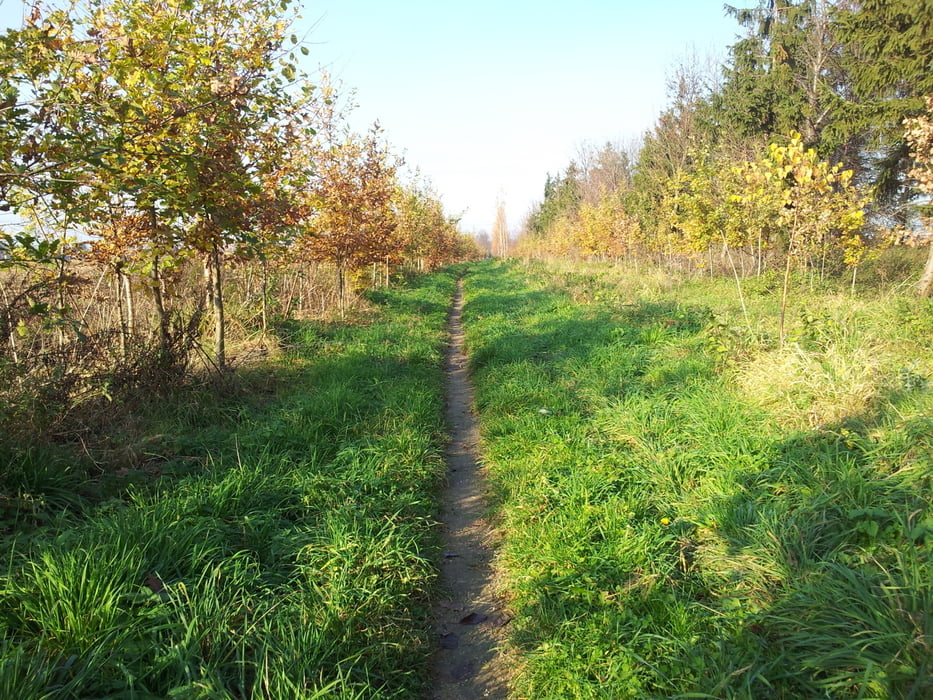
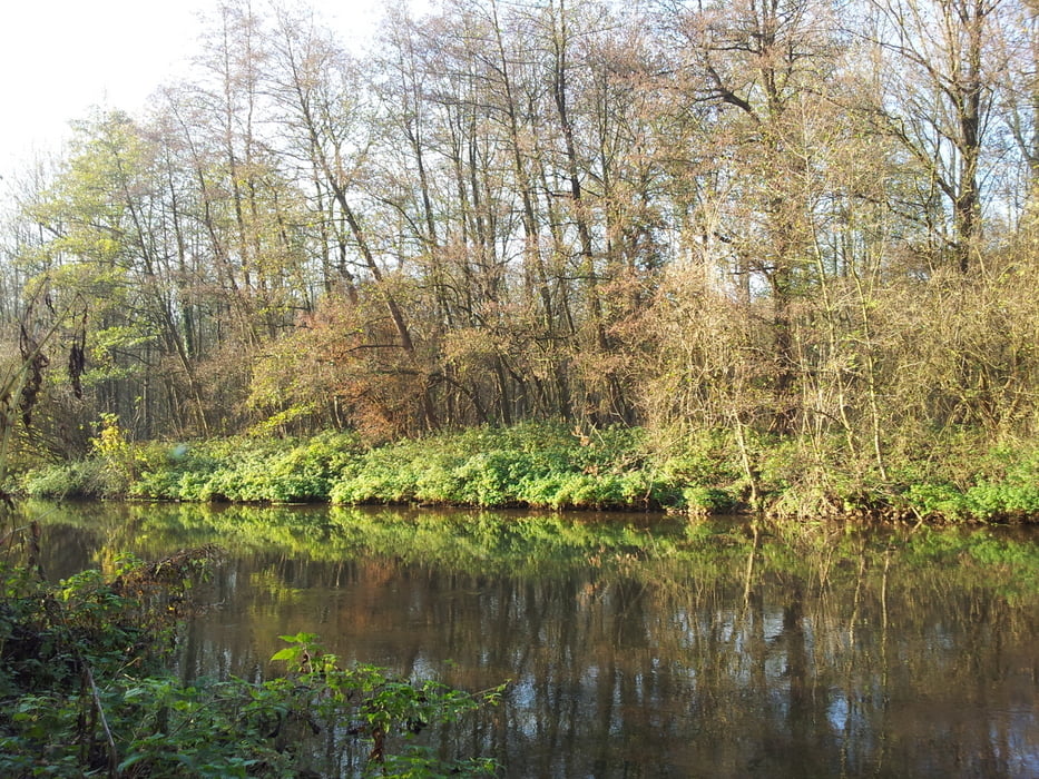
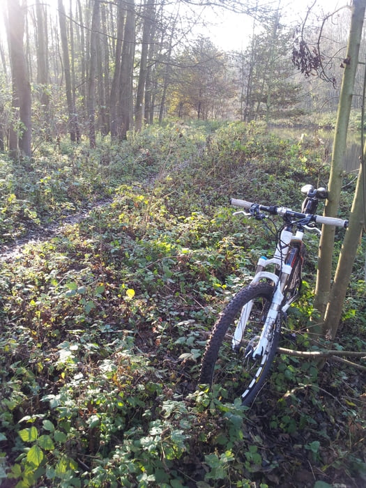
Zu 90% ohne Asphalt, auf gut fahrbaren Feld-/Waldwegen, teils auf single tracks durch Wald (Mühlenbusch) und Felder (alter Bahndamm) oder auf schlechten Feldwegen (Velderhof - Butzheim). Zwischen Helpenstein und Eppinghovener Mühle an der Erft lang geht's auf sehr schmalem single track schon bei mäßig nassem Wetter fast tretlagertief durch Schlamm und man läuft Gefahr in die Erft zu rutschen (läßt sich aber auf asphaltierten Wegen umfahren).
Galeria trasy
Mapa trasy i profil wysokości
Minimum height 28 m
Maximum height 83 m
More about the tour author

|
SMC1 |
Komentarze
Parken kann man am Wochenende z.B. auf dem Parkplatz des Gymnasiums in Neuss-Norf, Eichenallee 5 (N51 09.160 E6 43.447).
GPS tracks
Trackpoints-
GPX / Garmin Map Source (gpx) download
-
TCX / Garmin Training Center® (tcx) download
-
CRS / Garmin Training Center® (crs) download
-
Google Earth (kml) download
-
G7ToWin (g7t) download
-
TTQV (trk) download
-
Overlay (ovl) download
-
Fugawi (txt) download
-
Kompass (DAV) Track (tk) download
-
Karta trasy (pdf) download
-
Original file of the author (gpx) download
More about the tour author
|
|
SMC1 |
Add to my favorites
Remove from my favorites
Edit tags
Open track
My score
Rate
Neusser Süden