

3 Tag
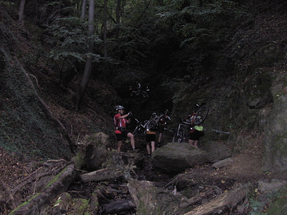
Am letzten Tag sind wir dann den Lahnwanderweg wieder nach Balduinstein zurück gefahren.Los ging es in Lahnstein wo als erstes die durchquerung der Ruppertsklamm anstand
-Fachbach
-Bad Ems dort führt der Weg durch ein Parkhaus. und weiter zum Concordiaturm
-in Dausenau wechseln wir die Lahnseite wo es weiter bis nach Nassau geht wo dann wieder die Lahn überquert wurde und es hinauf zur Hohe Lay ging.Weiter bis Obernhof,und dann an der Wassertreppe runter nach Laurenburg wo es dann über einen super Trail unten an der Lahn zurück nach Balduinstein ging
Wer die Tour als Tagesetappe fahren möchte kann von Balduinstein wieder die Bahn zurück nach Lahnstein nehmen
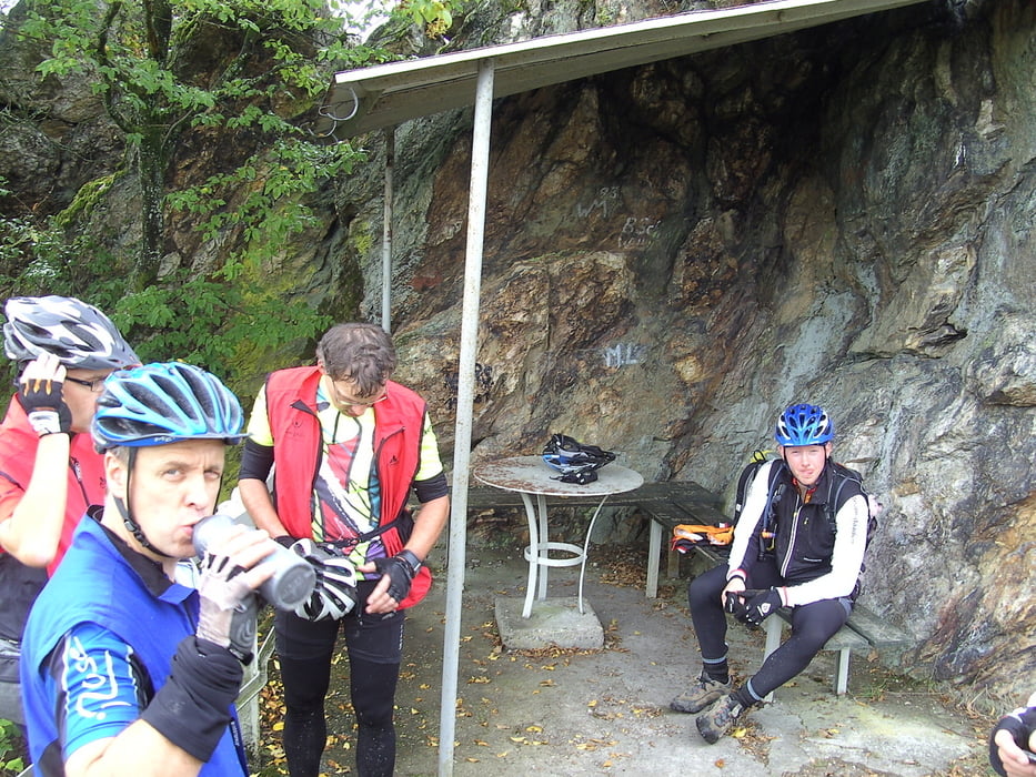
Die gesamten 3 Tage ging es überwiegend über Pfade -Trails-Forstwege und wenig Straße
Galeria trasy

Mapa trasy i profil wysokości
Minimum height 63 m
Maximum height 359 m
More about the tour author

|
Pfeilschnell |
Komentarze

GPS tracks
Trackpoints-
GPX / Garmin Map Source (gpx) download
-
TCX / Garmin Training Center® (tcx) download
-
CRS / Garmin Training Center® (crs) download
-
Google Earth (kml) download
-
G7ToWin (g7t) download
-
TTQV (trk) download
-
Overlay (ovl) download
-
Fugawi (txt) download
-
Kompass (DAV) Track (tk) download
-
Karta trasy (pdf) download
-
Original file of the author (gpx) download
More about the tour author
|
|
Pfeilschnell |
Add to my favorites
Remove from my favorites
Edit tags
Open track
My score
Rate