
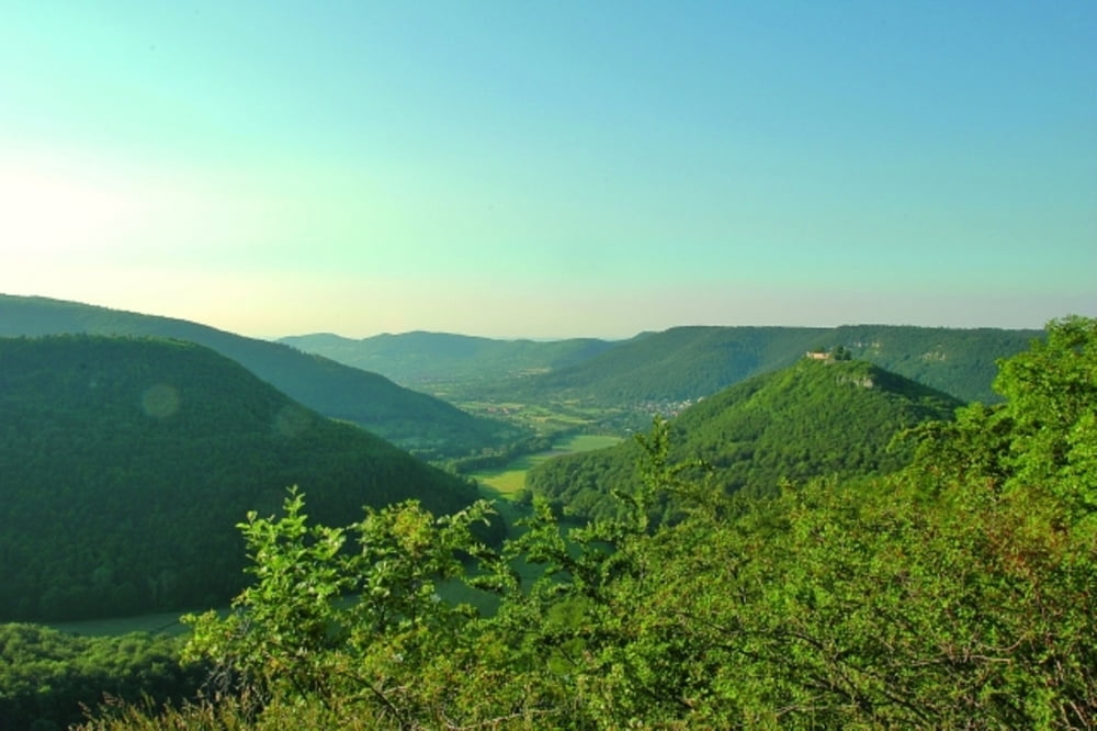

Start in Bad Urach - Wittlingen, weiter durch das obere Bach nach Bad Urach - Hengen. Beim Sportplatz netter kleiner Trail -- Weiter Richtung Aglishard -- hier schöne Abfahrt in Brucktal -- weiter auf Radweg nach Gruorn (Biosphäre). Nähe Trailfingen auf Weglein zu Uhenfels. Weiter im Fischburgtal, und zum Abschluss das Bachtal wieder berauf nach Wittlingen.
Further information at
http://www.biosphaerenreservat-alb.de/index.phpMapa trasy i profil wysokości
Minimum height 583 m
Maximum height 813 m
More about the tour author
|
|
WOF_Bikebox |
Komentarze

Stuttgart - Metzingen - Bad Urach -- Bad Urach Wittlingen, kleine Industriegebiet am östlichen Ortsausgang
GPS tracks
Trackpoints-
GPX / Garmin Map Source (gpx) download
-
TCX / Garmin Training Center® (tcx) download
-
CRS / Garmin Training Center® (crs) download
-
Google Earth (kml) download
-
G7ToWin (g7t) download
-
TTQV (trk) download
-
Overlay (ovl) download
-
Fugawi (txt) download
-
Kompass (DAV) Track (tk) download
-
Karta trasy (pdf) download
-
Original file of the author (gpx) download
More about the tour author
|
|
WOF_Bikebox |
Add to my favorites
Remove from my favorites
Edit tags
Open track
My score
Rate