


Start in der Falkenstraße und über den Leyer Sonnenschein hinunter ins Bolsenbachtal und weiter Ri. Ennepesperre, an der Eichhofermühle hoch nach Schüreichhofen,vorbei an Bärendahl wieder hinunter und hoch nach Klaukenburg, weiter Ri. Eich, Hahnenberg, Hönde und weiter runter zur Bever, in Hückeswagen auf den Radweg nach Wipperfürth und weiter bis Böswipper, vom Ibachtal hoch Ri. Voswinckel und weiter nach Auf dem Heede, hinunter nach Engstfeld, dort nach re. bis Schlade, weiter bis zur Asphaltstraße Ri. Anschlag, weiter Ri. Schwenke bis Höhe ehem. Brücke, hier nach re. wieder hinunter ins Tal und über Hesseln, Neuemühle und Talstraße mit kleinen "Schlenkern" zurück nach Hause.
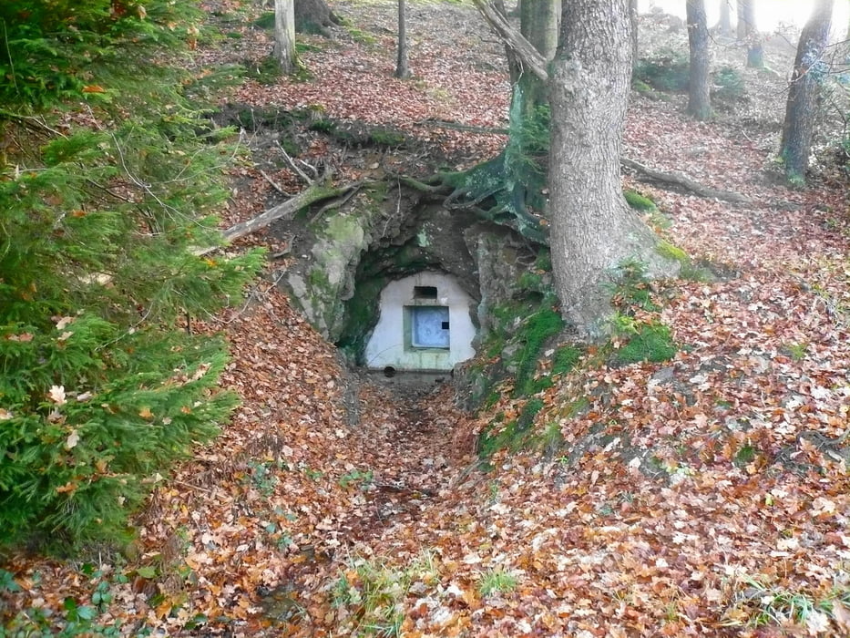
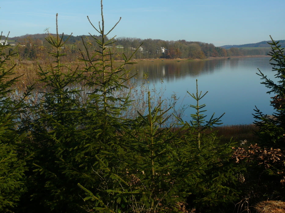
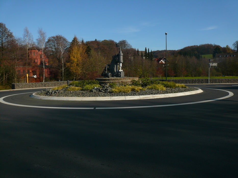
Bei strahlendem Sonnenschein schöne Herbsttour durch Westfalen und Rheinland.
Galeria trasy
Mapa trasy i profil wysokości
Minimum height 248 m
Maximum height 419 m
More about the tour author
|
|
neuser |
Komentarze

GPS tracks
Trackpoints-
GPX / Garmin Map Source (gpx) download
-
TCX / Garmin Training Center® (tcx) download
-
CRS / Garmin Training Center® (crs) download
-
Google Earth (kml) download
-
G7ToWin (g7t) download
-
TTQV (trk) download
-
Overlay (ovl) download
-
Fugawi (txt) download
-
Kompass (DAV) Track (tk) download
-
Karta trasy (pdf) download
-
Original file of the author (gpx) download
More about the tour author
|
|
neuser |
Add to my favorites
Remove from my favorites
Edit tags
Open track
My score
Rate