Login

Zapomniałeś swój login?

Cookies have to be accepted!
Your browser's cookie functionality is disabled. Please enable this functionality.

Not a member yet?

Register now
Login

Available for registred users only

Log in to use this feature.

Zapomniałeś swój login?

Cookies have to be accepted!
Your browser's cookie functionality is disabled. Please enable this functionality.

Not a member yet?

Register now
Filter
Kategorie
Advanced filters
  • Długość (km)
  • Wysokość
Zapisz filtr Reset filter

TrackRank

QRCode

Technical data

Długość27,5 km Wysokość918 m Way down943 m Czas trwania02:50 h:m Data14.11.2011
Oceny Author User Krajobraz Czynnik zadowolenia Kondycja Technika

Statystyka

2399 Widoki 1 Ocena 92 Downloads / Pliki do pobrania 3.00 Przeciętnie
Rate
  • Karta trasy
  • Dojazd
  • Downloads / Pliki do pobrania

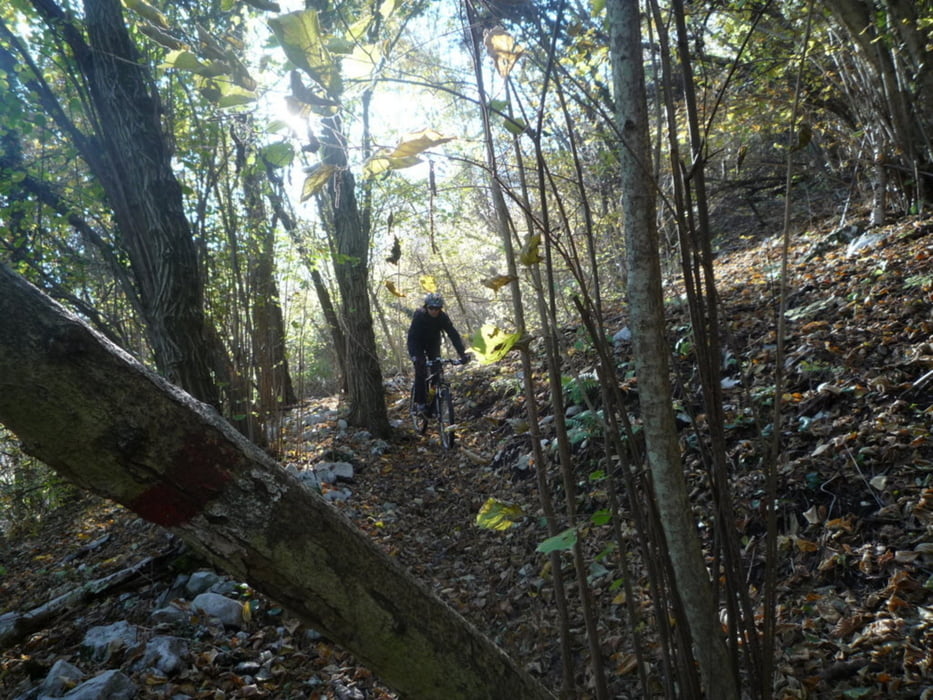
Breve escursione autunnale tra bellissimi boschi di castagno.  Esposta a sud gode di un gradevolissimo clima. Salita mai eccessivamente ripida Da sopra Mezzomonte un bellissimo single-track vario, divertente, veloce.

Da fare assolutamente.

Galeria trasy

Mapa trasy i profil wysokości

  • Open Street Map
  • Google
Minimum height 46 m Maximum height 727 m Widok szczegółowy

More about the tour author

beccarol
Member since 2010

Send private message

Komentarze

Da Pordenone si raggiunge sacile e da qui si va a Fiaschetti e sucessivamente a Caneva, luogo di partenza

GPS tracks

Trackpoints
  • GPX / Garmin Map Source (gpx) download
  • TCX / Garmin Training Center® (tcx) download
  • CRS / Garmin Training Center® (crs) download
  • Google Earth (kml) download
  • G7ToWin (g7t) download
  • TTQV (trk) download
  • Overlay (ovl) download
  • Fugawi (txt) download
  • Kompass (DAV) Track (tk) download
  • Karta trasy (pdf) download
  • Original file of the author (gpx) download

More about the tour author

beccarol
Member since 2010

Send private message
Share track
Add to my favorites
Remove from my favorites
Edit tags
My score
Rate
Trasa: Budoia Mezzomonte Dardago
Rodzaj: Rower górski (MTB)
Długość: 27,5 km
Evaluated on:
Czas trwania:
Day(s)
Hour(s)
Minute(s)
Ocena: Krajobraz Czynnik zadowolenia Kondycja Technika