Login

Zapomniałeś swój login?

Cookies have to be accepted!
Your browser's cookie functionality is disabled. Please enable this functionality.

Not a member yet?

Register now
Login

Available for registred users only

Log in to use this feature.

Zapomniałeś swój login?

Cookies have to be accepted!
Your browser's cookie functionality is disabled. Please enable this functionality.

Not a member yet?

Register now
Filter
Kategorie
Advanced filters
  • Długość (km)
  • Wysokość
Zapisz filtr Reset filter

TrackRank

QRCode

Technical data

Długość9,5 km Wysokość1225 m Way down1212 m Czas trwania04:00 h:m Data20.11.2011
Oceny Author Krajobraz Czynnik zadowolenia Kondycja Technika

Statystyka

377 Widoki Oceny 26 Downloads / Pliki do pobrania Przeciętnie
Rate
  • Karta trasy
  • Dojazd
  • Downloads / Pliki do pobrania

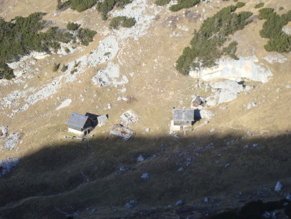
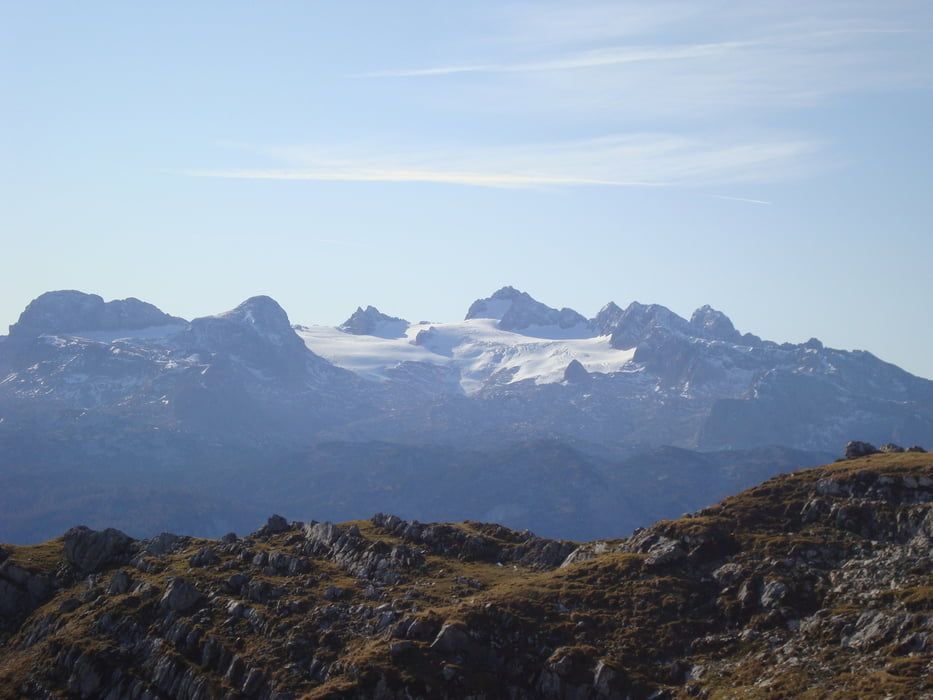
Ausgangspunkt ist der Pötschenpass. Nach der 1. Kehre gleich den Parkplatz nutzen. Ein relativ steiler Aufstieg durch einen Mischwald  zur Sarsteinalm (Einkehrmöglichkeit)  dann weiter durch Latschen und über Felsen zum Gipfelkreuz. Keine schwierige Wanderung aber ein wunderschöner Gipfel mit Rundumsicht und den Dachstein zum Anfassen.


mehr Bilder :    seppdepp.heim.at

Galeria trasy

Mapa trasy i profil wysokości

  • Open Street Map
  • Google
Minimum height 749 m Maximum height 1986 m Widok szczegółowy

More about the tour author

Atzbach
Member since 2009

Send private message

Komentarze

GPS tracks

Trackpoints
  • GPX / Garmin Map Source (gpx) download
  • TCX / Garmin Training Center® (tcx) download
  • CRS / Garmin Training Center® (crs) download
  • Google Earth (kml) download
  • G7ToWin (g7t) download
  • TTQV (trk) download
  • Overlay (ovl) download
  • Fugawi (txt) download
  • Kompass (DAV) Track (tk) download
  • Karta trasy (pdf) download
  • Original file of the author (gpx) download

More about the tour author

Atzbach
Member since 2009

Send private message
Share track
Add to my favorites
Remove from my favorites
Edit tags
My score
Rate
Trasa: Sarstein 1975m
Rodzaj: Trasy górskie
Długość: 9,5 km
Evaluated on:
Czas trwania:
Day(s)
Hour(s)
Minute(s)
Ocena: Krajobraz Czynnik zadowolenia Kondycja Technika