Login

Zapomniałeś swój login?

Cookies have to be accepted!
Your browser's cookie functionality is disabled. Please enable this functionality.

Not a member yet?

Register now
Login

Available for registred users only

Log in to use this feature.

Zapomniałeś swój login?

Cookies have to be accepted!
Your browser's cookie functionality is disabled. Please enable this functionality.

Not a member yet?

Register now
Filter
Kategorie
Advanced filters
  • Długość (km)
  • Wysokość
Zapisz filtr Reset filter

TrackRank

QRCode

Technical data

Długość4,2 km Wysokość216 m Way down215 m Czas trwania02:00 h:m Data21.11.2011
Oceny Author User Krajobraz Czynnik zadowolenia Kondycja Technika

Statystyka

826 Widoki 1 Ocena 87 Downloads / Pliki do pobrania 4.00 Przeciętnie
Rate
  • Karta trasy
  • Dojazd
  • Downloads / Pliki do pobrania
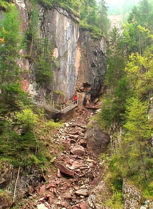
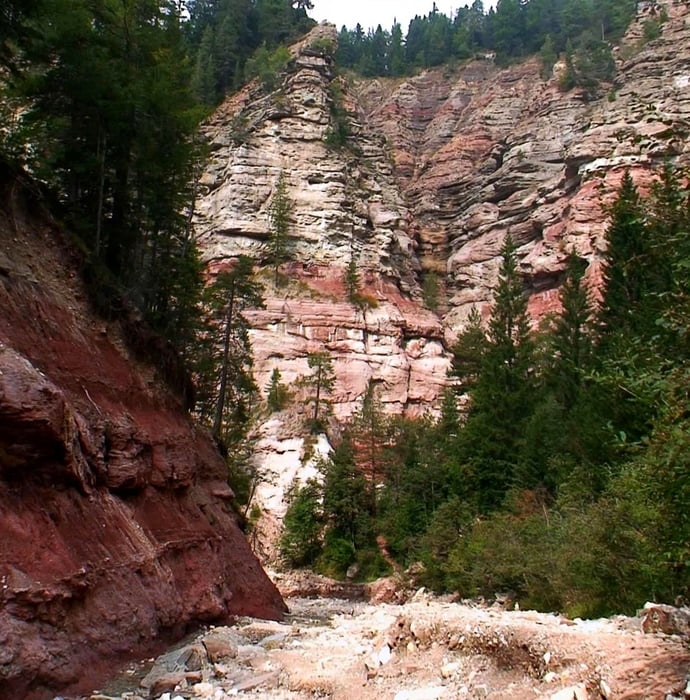
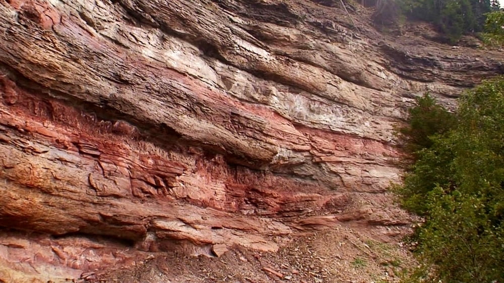
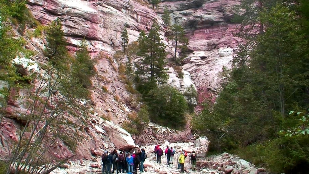
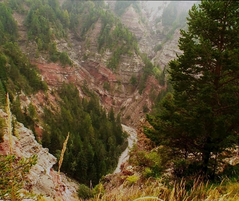
Eine herrliche Wanderung durch den interessantesten Canon Europas: es geht am Bletterbach entlang am Fuße der Schlucht und über einen Höhenweg zurück.

Galeria trasy

Mapa trasy i profil wysokości

  • Open Street Map
  • Google
Minimum height 1444 m Maximum height 1664 m Widok szczegółowy

More about the tour author

heinz-57
Member since 2009

Send private message

Komentarze

Google Earth: N 46.366379° / E 11.406695°

Von Bozen nach Süden auf der E45/ A13 bis Ausfahrt "Neumarkt/ Auer". Auf der SS48 an Auer und Montan vorbei, später links abbiegen auf SP72 nach Aldein. Nach dem Ort rechts zum Ortsteil "Lerch" Wegweisung "Bletterbach- Schlucht" folgen bis Parkplatz "Geoparc Bletterbach"

GPS tracks

Trackpoints
  • GPX / Garmin Map Source (gpx) download
  • TCX / Garmin Training Center® (tcx) download
  • CRS / Garmin Training Center® (crs) download
  • Google Earth (kml) download
  • G7ToWin (g7t) download
  • TTQV (trk) download
  • Overlay (ovl) download
  • Fugawi (txt) download
  • Kompass (DAV) Track (tk) download
  • Karta trasy (pdf) download
  • Original file of the author (gpx) download

More about the tour author

heinz-57
Member since 2009

Send private message
Share track
Add to my favorites
Remove from my favorites
Edit tags
My score
Rate
Trasa: Südtirol: Bletterbach- Schlucht bei Aldein
Rodzaj: Wędrówki
Długość: 4,2 km
Evaluated on:
Czas trwania:
Day(s)
Hour(s)
Minute(s)
Ocena: Krajobraz Czynnik zadowolenia Kondycja Technika