Login

Zapomniałeś swój login?

Cookies have to be accepted!
Your browser's cookie functionality is disabled. Please enable this functionality.

Not a member yet?

Register now
Login

Available for registred users only

Log in to use this feature.

Zapomniałeś swój login?

Cookies have to be accepted!
Your browser's cookie functionality is disabled. Please enable this functionality.

Not a member yet?

Register now
Filter
Kategorie
Advanced filters
  • Długość (km)
  • Wysokość
Zapisz filtr Reset filter

TrackRank

QRCode

Technical data

Długość75,1 km Wysokość238 m Way down247 m Czas trwania04:00 h:m Data27.11.2011
Oceny Author Krajobraz Czynnik zadowolenia Kondycja Technika

Statystyka

682 Widoki Oceny 16 Downloads / Pliki do pobrania Przeciętnie
Rate
  • Karta trasy
  • Dojazd
  • Downloads / Pliki do pobrania
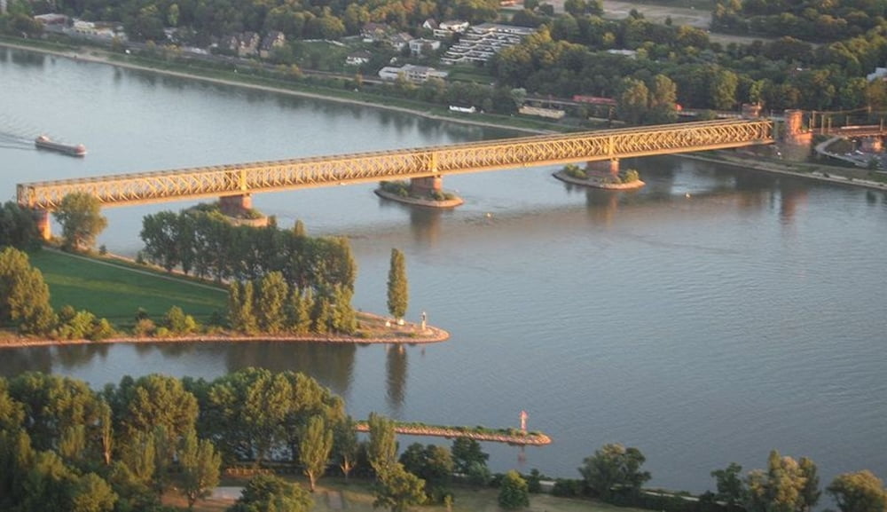
Die Tour führt am Airport vorbei durch bewaldetes Gebiet. Über  das Opelwerk Rüsselsheim geht hinunter zum Main. Auf der linken Mainseite ist die Mainmündung das Ziel. Weiter geht es über das linke Rheinufer über die Brücke zum Mainz-Kastel. Hier kann man zünftig Brotzeit machen, anschließend auf der rechten Mainseite bis Rüsselsheim und über den Airport zurück nach Langen

Galeria trasy

Mapa trasy i profil wysokości

  • Open Street Map
  • Google
Minimum height 52 m Maximum height 132 m Widok szczegółowy

More about the tour author

Zwecke
Member since 2009

Send private message

Komentarze

Die Tour beginnt/endet am Bahnhof in Langen

GPS tracks

Trackpoints
  • GPX / Garmin Map Source (gpx) download
  • TCX / Garmin Training Center® (tcx) download
  • CRS / Garmin Training Center® (crs) download
  • Google Earth (kml) download
  • G7ToWin (g7t) download
  • TTQV (trk) download
  • Overlay (ovl) download
  • Fugawi (txt) download
  • Kompass (DAV) Track (tk) download
  • Karta trasy (pdf) download
  • Original file of the author (gpx) download

More about the tour author

Zwecke
Member since 2009

Send private message
Share track
Add to my favorites
Remove from my favorites
Edit tags
My score
Rate
Trasa: Langen-Mainz Kastel-Langen
Rodzaj: Rower górski (MTB)
Długość: 75,1 km
Evaluated on:
Czas trwania:
Day(s)
Hour(s)
Minute(s)
Ocena: Krajobraz Czynnik zadowolenia Kondycja Technika