Login

Zapomniałeś swój login?

Cookies have to be accepted!
Your browser's cookie functionality is disabled. Please enable this functionality.

Not a member yet?

Register now
Login

Available for registred users only

Log in to use this feature.

Zapomniałeś swój login?

Cookies have to be accepted!
Your browser's cookie functionality is disabled. Please enable this functionality.

Not a member yet?

Register now
Filter
Kategorie
Advanced filters
  • Długość (km)
  • Wysokość
Zapisz filtr Reset filter

TrackRank

QRCode

Technical data

Długość38,8 km Wysokość619 m Way down618 m Czas trwania03:45 h:m Data02.12.2011
Oceny Author Krajobraz Czynnik zadowolenia Kondycja Technika

Statystyka

601 Widoki Oceny 93 Downloads / Pliki do pobrania Przeciętnie
Rate
  • Karta trasy
  • Dojazd
  • Downloads / Pliki do pobrania

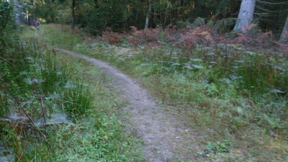
MTB Runde mit schönen teils anspruchsvollenTrails!

Start/Ziel ist die Kreuzung Vennstrasse/Umstrasse in Venwegen (Stolberg Rld) bei Aachen. Die Runde führt überwiegend über Forstwege und Trails. Die Strecke verläuft:

- an Zweifall vorbei

-über ein Teil Hasselbachgraben bis zum Vorbecken der Dreilägerbachtalsperre

-über einen Teil Schlebachgraben

- südlich um Röetgen herum

- über Petersgenfeld

- durch den belgischen Wald

- nach Relais Köigsberg

- wieder bis nach Vennwegen


Mapa trasy i profil wysokości

  • Open Street Map
  • Google
Minimum height 259 m Maximum height 553 m Widok szczegółowy

More about the tour author

hilli_ac
Member since 2010

Send private message

Komentarze

GPS tracks

Trackpoints
  • GPX / Garmin Map Source (gpx) download
  • TCX / Garmin Training Center® (tcx) download
  • CRS / Garmin Training Center® (crs) download
  • Google Earth (kml) download
  • G7ToWin (g7t) download
  • TTQV (trk) download
  • Overlay (ovl) download
  • Fugawi (txt) download
  • Kompass (DAV) Track (tk) download
  • Karta trasy (pdf) download
  • Original file of the author (gpx) download

More about the tour author

hilli_ac
Member since 2010

Send private message
Share track
Add to my favorites
Remove from my favorites
Edit tags
My score
Rate
Trasa: ab Venwegen Rund um Roetgen 2
Rodzaj: Rower górski (MTB)
Długość: 38,8 km
Evaluated on:
Czas trwania:
Day(s)
Hour(s)
Minute(s)
Ocena: Krajobraz Czynnik zadowolenia Kondycja Technika