Login

Zapomniałeś swój login?

Cookies have to be accepted!
Your browser's cookie functionality is disabled. Please enable this functionality.

Not a member yet?

Register now
Login

Available for registred users only

Log in to use this feature.

Zapomniałeś swój login?

Cookies have to be accepted!
Your browser's cookie functionality is disabled. Please enable this functionality.

Not a member yet?

Register now
Filter
Kategorie
Advanced filters
  • Długość (km)
  • Wysokość
Zapisz filtr Reset filter

TrackRank

QRCode

Technical data

Długość71,8 km Wysokość988 m Way down1007 m Czas trwania00:00 h:m Data17.12.2011
Oceny Author Krajobraz Czynnik zadowolenia Kondycja Technika

Statystyka

290 Widoki Oceny 30 Downloads / Pliki do pobrania Przeciętnie
Rate
  • Karta trasy
  • Dojazd
  • Downloads / Pliki do pobrania

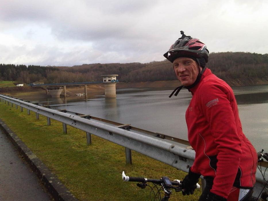
Mountainbike Route über Leichlingen>Altenberg>Dhünntalsperre_Staumauer>Voiswinkel>Schlebusch>Bayer_Stadion>Rheindorf>Reusrath>Ruppelrath>Sol.Auf der Höhe. Die Route wurde so gewählt mit Waldwegen Feldwegen und kleinen Nebenstrassen und möglichst wenig Matsch. Anfangs Bergig ab Schlebusch flach bis Solingen Auf der Höhe.

Keine Standartwege die jeder fährt.

Mapa trasy i profil wysokości

  • Open Street Map
  • Google
Minimum height 97 m Maximum height 295 m Widok szczegółowy

More about the tour author

Gerhard38
Member since 2011

Send private message

Komentarze

GPS tracks

Trackpoints
  • GPX / Garmin Map Source (gpx) download
  • TCX / Garmin Training Center® (tcx) download
  • CRS / Garmin Training Center® (crs) download
  • Google Earth (kml) download
  • G7ToWin (g7t) download
  • TTQV (trk) download
  • Overlay (ovl) download
  • Fugawi (txt) download
  • Kompass (DAV) Track (tk) download
  • Karta trasy (pdf) download
  • Original file of the author (tcx) download

More about the tour author

Gerhard38
Member since 2011

Send private message
Share track
Add to my favorites
Remove from my favorites
Edit tags
My score
Rate
Trasa: Leichlingen>Altenberg>Dhünntalsperre>Schlebusch
Rodzaj: Rower górski (MTB)
Długość: 71,8 km
Evaluated on:
Czas trwania:
Day(s)
Hour(s)
Minute(s)
Ocena: Krajobraz Czynnik zadowolenia Kondycja Technika