Login

Zapomniałeś swój login?

Cookies have to be accepted!
Your browser's cookie functionality is disabled. Please enable this functionality.

Not a member yet?

Register now
Login

Available for registred users only

Log in to use this feature.

Zapomniałeś swój login?

Cookies have to be accepted!
Your browser's cookie functionality is disabled. Please enable this functionality.

Not a member yet?

Register now
Filter
Kategorie
Advanced filters
  • Długość (km)
  • Wysokość
Zapisz filtr Reset filter

TrackRank

QRCode

Technical data

Długość19,7 km Wysokość0 m Way down0 m Czas trwania02:00 h:m Data25.12.2011
Oceny Author Krajobraz Czynnik zadowolenia Kondycja Technika

Statystyka

306 Widoki Oceny 41 Downloads / Pliki do pobrania Przeciętnie
Rate
  • Karta trasy
  • Dojazd
  • Downloads / Pliki do pobrania
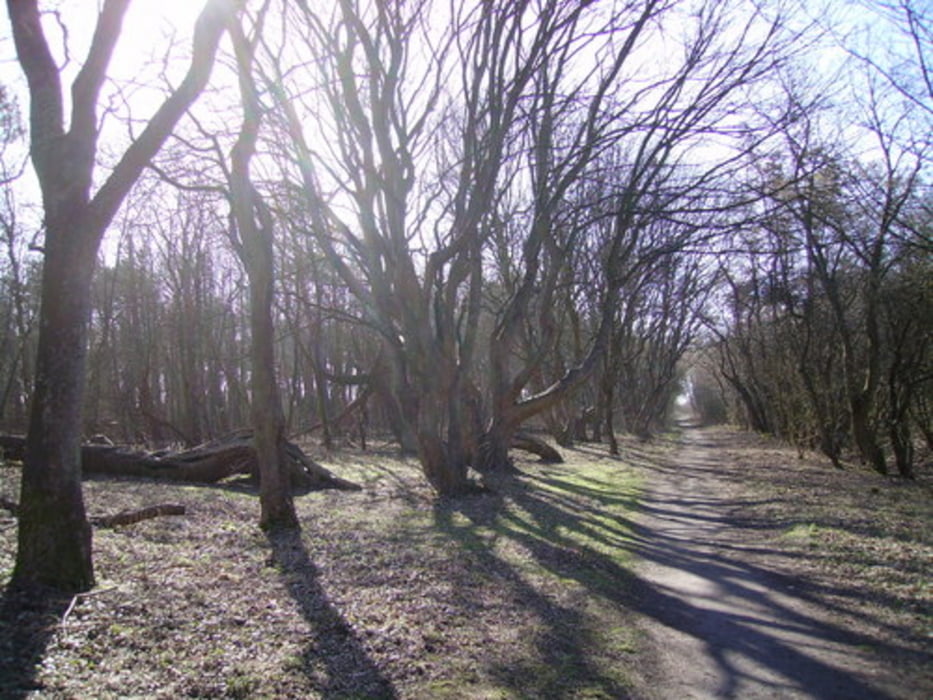
Start en finish vanaf parkeerplaats bij De Hoep, Bakkum. Route 9 maart 2013 geperfectioneerd. Een zwaar stukje zandduinen er uit gehaald maar nu minder verhard.

Galeria trasy

Mapa trasy i profil wysokości

  • Open Street Map
  • Google
Minimum height 99999 m Maximum height -99999 m Widok szczegółowy

More about the tour author

klaaselzinga
Member since 2011

Send private message

Komentarze

Hardloopronde 20 km, circa 85% onderhard meest door het bos en incidenteel in open duingebied. Het onverharde deel is op een paar zandpaden heel goed te lopen.

GPS tracks

Trackpoints
  • GPX / Garmin Map Source (gpx) download
  • TCX / Garmin Training Center® (tcx) download
  • CRS / Garmin Training Center® (crs) download
  • Google Earth (kml) download
  • G7ToWin (g7t) download
  • TTQV (trk) download
  • Overlay (ovl) download
  • Fugawi (txt) download
  • Kompass (DAV) Track (tk) download
  • Karta trasy (pdf) download
  • Original file of the author (gpx) download

More about the tour author

klaaselzinga
Member since 2011

Send private message
Share track
Add to my favorites
Remove from my favorites
Edit tags
My score
Rate
Trasa: Bos en duinen 85% onderhard (9 maart 2013 aangepast)
Rodzaj: Biegi
Długość: 19,7 km
Evaluated on:
Czas trwania:
Day(s)
Hour(s)
Minute(s)
Ocena: Krajobraz Czynnik zadowolenia Kondycja Technika