


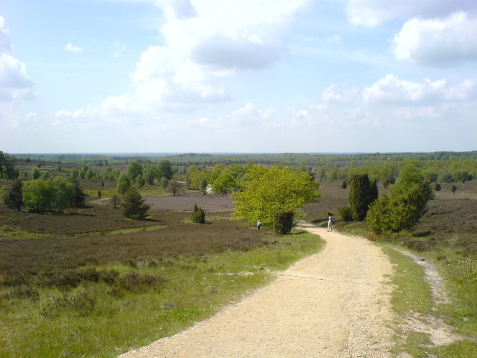
Auf Jakobusweg(Lüneburg Heide),Aller Radweg,Leine Heide Radweg und dem Freudentalweg an der Böhme. Von Celle aus auf den Wilseder Berg.
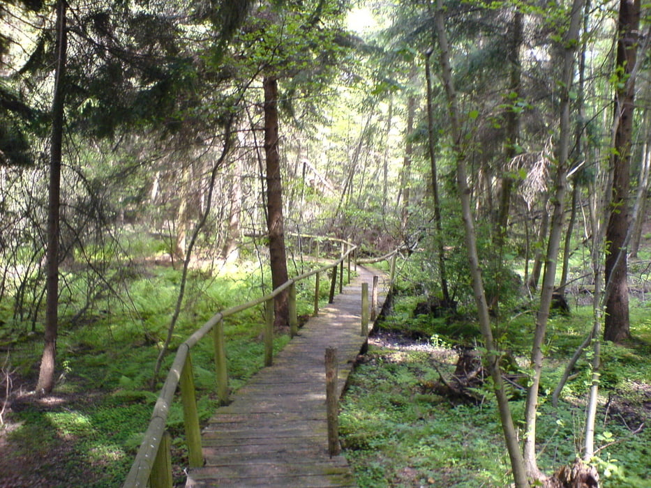
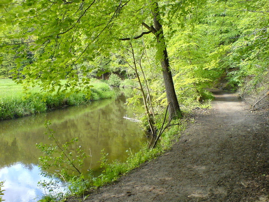
Wirklich schöne Strecke, die ich bestimmt noch einmal so fahren werde. Dann aber bei Tageslicht. Der Freudentalweg ist vor Böhmeschlucht bei Vierde durch mächtige quer liegende Stämme versperrt (wohl schon länger). Update: 05.2012 kleine Änderung des Tracks. Jetzt ohne Stämme aber dafür mit steiler Treppe.
Wirklich schöne Strecke, die ich bestimmt noch einmal so fahren werde. Dann aber bei Tageslicht. Der Freudentalweg ist vor Böhmeschlucht bei Vierde durch mächtige quer liegende Stämme versperrt (wohl schon länger). Update: 05.2012 kleine Änderung des Tracks. Jetzt ohne Stämme aber dafür mit steiler Treppe.
Galeria trasy
Mapa trasy i profil wysokości
Minimum height 15 m
Maximum height 161 m
More about the tour author
|
|
gnoetgen |
Komentarze

GPS tracks
Trackpoints-
GPX / Garmin Map Source (gpx) download
-
TCX / Garmin Training Center® (tcx) download
-
CRS / Garmin Training Center® (crs) download
-
Google Earth (kml) download
-
G7ToWin (g7t) download
-
TTQV (trk) download
-
Overlay (ovl) download
-
Fugawi (txt) download
-
Kompass (DAV) Track (tk) download
-
Karta trasy (pdf) download
-
Original file of the author (gpx) download
More about the tour author
|
|
gnoetgen |
Add to my favorites
Remove from my favorites
Edit tags
Open track
My score
Rate