

Technisch und konditionel anspruchsvolle Nordigwalking Runde.
Die Tour für vom Schützenhaus Ensingen erst Flach auf Feld und Waldwegen dahin.
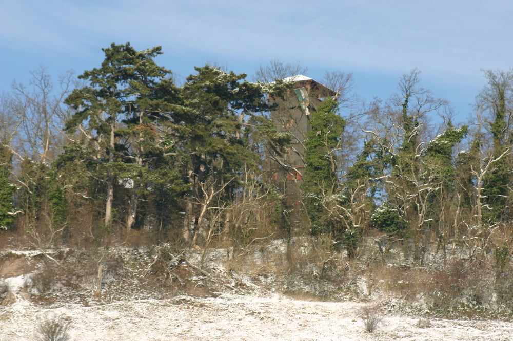
Bei KM 1.5 zweigt die Tour rechts ab. Hier beginnen die Herausforderungen mit unbefestrigen Wegen und Steigungen mit bis zu 25%. Auf dem Sattel angekommen, bietet sich ein netter Ausblick auf die Täler des Strombergs. Die Tour führt noch ca 1 KM unbefestig weiter bis mann wieder auf einen Waldweg trifft der dann abermals bis auf fast 400 HM bis zum Eselsburg Sattel ansteigt. Von hier aus geht es nur noch Berg ab bis wir wieder am Schützenhaus ankommen.
viel Spass beim nachgehen.
Die Tour für vom Schützenhaus Ensingen erst Flach auf Feld und Waldwegen dahin.
Bei KM 1.5 zweigt die Tour rechts ab. Hier beginnen die Herausforderungen mit unbefestrigen Wegen und Steigungen mit bis zu 25%. Auf dem Sattel angekommen, bietet sich ein netter Ausblick auf die Täler des Strombergs. Die Tour führt noch ca 1 KM unbefestig weiter bis mann wieder auf einen Waldweg trifft der dann abermals bis auf fast 400 HM bis zum Eselsburg Sattel ansteigt. Von hier aus geht es nur noch Berg ab bis wir wieder am Schützenhaus ankommen.
viel Spass beim nachgehen.
Mapa trasy i profil wysokości
Minimum height 258 m
Maximum height 394 m
More about the tour author

|
eagle_123 |
Komentarze

GPS tracks
Trackpoints-
GPX / Garmin Map Source (gpx) download
-
TCX / Garmin Training Center® (tcx) download
-
CRS / Garmin Training Center® (crs) download
-
Google Earth (kml) download
-
G7ToWin (g7t) download
-
TTQV (trk) download
-
Overlay (ovl) download
-
Fugawi (txt) download
-
Kompass (DAV) Track (tk) download
-
Karta trasy (pdf) download
-
Original file of the author (gpx) download
More about the tour author
|
|
eagle_123 |
Add to my favorites
Remove from my favorites
Edit tags
Open track
My score
Rate