Login

Zapomniałeś swój login?

Cookies have to be accepted!
Your browser's cookie functionality is disabled. Please enable this functionality.

Not a member yet?

Register now
Login

Available for registred users only

Log in to use this feature.

Zapomniałeś swój login?

Cookies have to be accepted!
Your browser's cookie functionality is disabled. Please enable this functionality.

Not a member yet?

Register now
Filter
Kategorie
Advanced filters
  • Długość (km)
  • Wysokość
Zapisz filtr Reset filter

TrackRank

QRCode

Technical data

Długość4,6 km Wysokość100 m Way down0 m Czas trwania01:00 h:m Data06.01.2012
Oceny Author Krajobraz Czynnik zadowolenia Kondycja Technika

Statystyka

282 Widoki Oceny 27 Downloads / Pliki do pobrania Przeciętnie
Rate
  • Karta trasy
  • Dojazd
  • Downloads / Pliki do pobrania

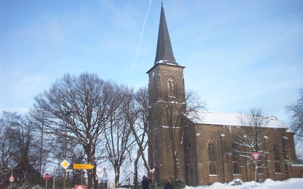
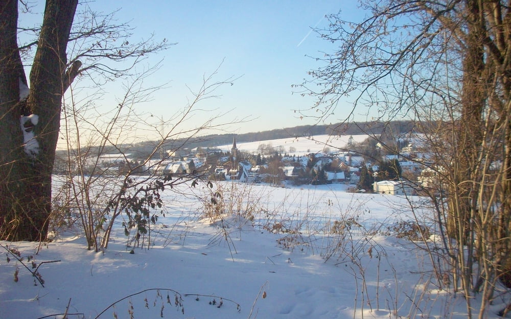
Rundweg ab Herzkamp (Sprockhövel) (nördlich von Wuppertal)

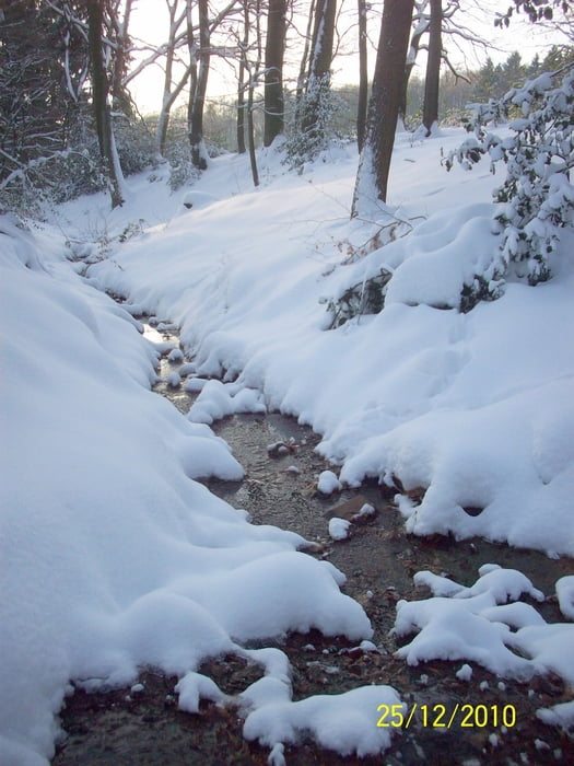
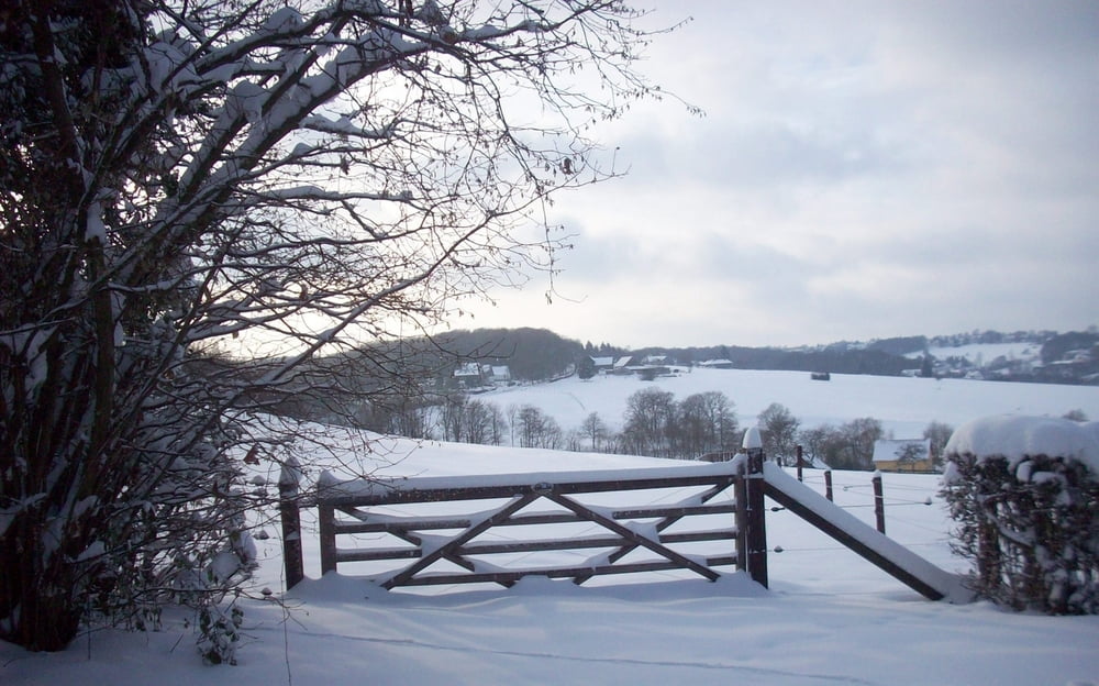
Bergauf und -ab über Wald- und Feldwege durch die reizvolle Hügellandschaft

Wenig Asphalt dafür aber  durch teilweise matschige  Wege.

Wir hatten (Weihnachten 2010) ganz schön mit dem verwehten Tiefschnee zu kämpfen.

Galeria trasy

Mapa trasy i profil wysokości

  • Open Street Map
  • Google
Minimum height 99999 m Maximum height -99999 m Widok szczegółowy

More about the tour author

herzgitti
Member since 2012

Send private message

Komentarze

A46 -  Ausfahrt Wuppertal-Wichlinghausen - Links in Müggenburg - 1.Ampel Links Gennebrecker Str. - Auf Einern geradeaus durch Kreisel - über Barmer Str.  runter nach Herzkamp.

GPS Sportplatz : N51 18.767 E7 12.447

GPS tracks

Trackpoints
  • GPX / Garmin Map Source (gpx) download
  • TCX / Garmin Training Center® (tcx) download
  • CRS / Garmin Training Center® (crs) download
  • Google Earth (kml) download
  • G7ToWin (g7t) download
  • TTQV (trk) download
  • Overlay (ovl) download
  • Fugawi (txt) download
  • Kompass (DAV) Track (tk) download
  • Karta trasy (pdf) download
  • Original file of the author (gpx) download

More about the tour author

herzgitti
Member since 2012

Send private message
Share track
Add to my favorites
Remove from my favorites
Edit tags
My score
Rate
Trasa: Rundweg Gennebreck_Herzkamp_Mettberg_Stöckern
Rodzaj: Wędrówki
Długość: 4,6 km
Evaluated on:
Czas trwania:
Day(s)
Hour(s)
Minute(s)
Ocena: Krajobraz Czynnik zadowolenia Kondycja Technika