


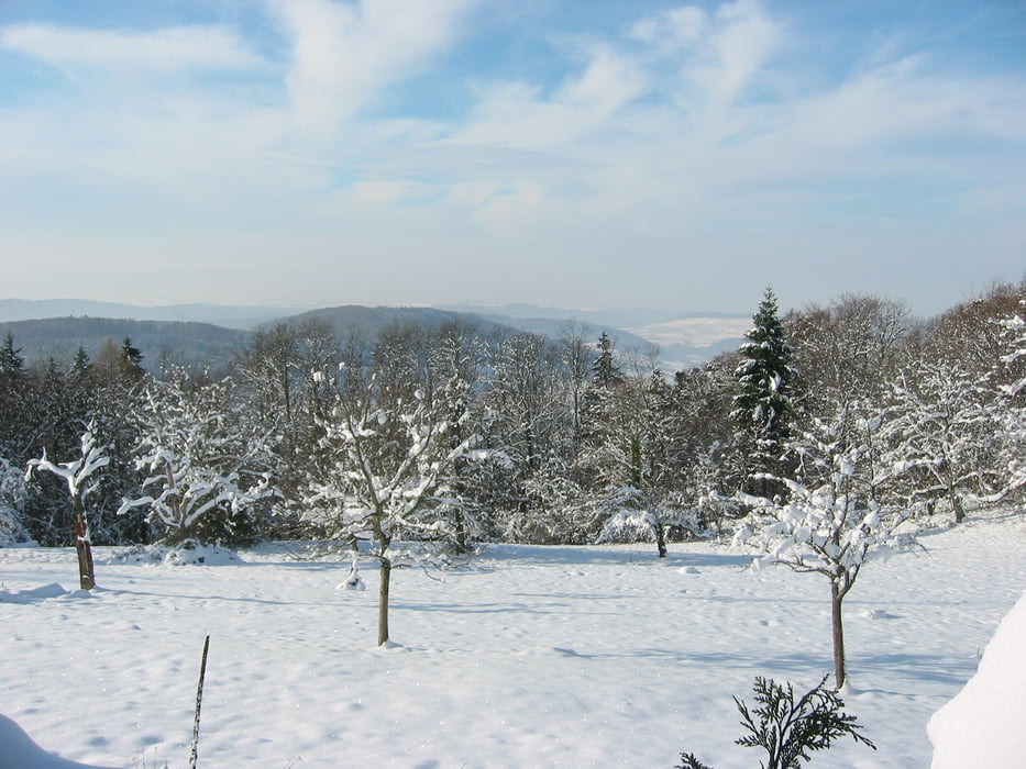
Schöne Rundwanderung mit Superaussichten in die Vogesen und ins Rheintal.
Absolut sehenswert die Aussicht von Schloß Bürgeln. Auch eine Schloßbesichtigung ist sehr zu empfehlen.
Start dieser Rundwanderung ist Schallsingen. Von hier zum Schloß Bürgeln, über Sitzenkirch nach Feuerbach und Obereggenen zurück nach Schallsingen.
Absolut sehenswert die Aussicht von Schloß Bürgeln. Auch eine Schloßbesichtigung ist sehr zu empfehlen.
Start dieser Rundwanderung ist Schallsingen. Von hier zum Schloß Bürgeln, über Sitzenkirch nach Feuerbach und Obereggenen zurück nach Schallsingen.
Galeria trasy
Mapa trasy i profil wysokości
Minimum height 312 m
Maximum height 675 m
More about the tour author

|
fresie |
Komentarze

GPS tracks
Trackpoints-
GPX / Garmin Map Source (gpx) download
-
TCX / Garmin Training Center® (tcx) download
-
CRS / Garmin Training Center® (crs) download
-
Google Earth (kml) download
-
G7ToWin (g7t) download
-
TTQV (trk) download
-
Overlay (ovl) download
-
Fugawi (txt) download
-
Kompass (DAV) Track (tk) download
-
Karta trasy (pdf) download
-
Original file of the author (gpx) download
More about the tour author
|
|
fresie |
Add to my favorites
Remove from my favorites
Edit tags
Open track
My score
Rate