

Auf 700m Höhe nach dem Wirtshaus Billersteiner den Forstweg 63 zur Lilienfelderhütter (mäßig steigend), den 622 Wanderweg zur Klosteralpe (3/4 Weg mäßig steigend, Rest flach), weiter den Zdarsky Rundwanderweg zum Schwarzwald Riegel (leichtes bergauf/ab) dann auf die Kloster-Hinteralpe zur Traisner Hütte (mittel steil).
Billensteiner 700Hm - Lilienfelder Hütte 956m (45min) - Hinteralpe 1057m (25min) - Schwarzwald Riegel 1200m (25min) - Traisner Hütte 1311 (20min)
Further information at
http://www.naturfreunde-haeuser.net/data_geofinder_item.php?AppComeFrom=Resultlist&&Item=148Galeria trasy

Mapa trasy i profil wysokości
Minimum height 714 m
Maximum height 1312 m
More about the tour author
|
|
der_Bergverfuehrer |
Komentarze

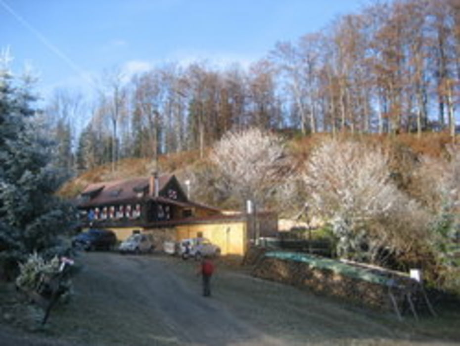
St. Pölten - Lilienfeld - links zum Stift - beim Liftparkplatz geradeaus - auf Höhe 650m rechts halten - beim Gasthaus Billensteiner beginnt die Schotterstraße - ca. 300m bis zu einem kleinen Parkplatz - dort starten auch die Tourengeher
N47° 59.450' - E15° 37.007'
GPS tracks
Trackpoints-
GPX / Garmin Map Source (gpx) download
-
TCX / Garmin Training Center® (tcx) download
-
CRS / Garmin Training Center® (crs) download
-
Google Earth (kml) download
-
G7ToWin (g7t) download
-
TTQV (trk) download
-
Overlay (ovl) download
-
Fugawi (txt) download
-
Kompass (DAV) Track (tk) download
-
Karta trasy (pdf) download
-
Original file of the author (gpx) download
More about the tour author
|
|
der_Bergverfuehrer |
Add to my favorites
Remove from my favorites
Edit tags
Open track
My score
Rate