Login

Zapomniałeś swój login?

Cookies have to be accepted!
Your browser's cookie functionality is disabled. Please enable this functionality.

Not a member yet?

Register now
Login

Available for registred users only

Log in to use this feature.

Zapomniałeś swój login?

Cookies have to be accepted!
Your browser's cookie functionality is disabled. Please enable this functionality.

Not a member yet?

Register now
Filter
Kategorie
Advanced filters
  • Długość (km)
  • Wysokość
Zapisz filtr Reset filter

TrackRank

QRCode

Technical data

Długość7,3 km Wysokość529 m Way down483 m Czas trwania04:00 h:m Data27.01.2012
Oceny Author Krajobraz Czynnik zadowolenia Kondycja Technika

Statystyka

300 Widoki Oceny 22 Downloads / Pliki do pobrania Przeciętnie
Rate
  • Karta trasy
  • Dojazd
  • Downloads / Pliki do pobrania

Eigentlich unglaublich kaum 100km von Wien weg das wahre Winterparadies.

Strahlender Sonnenschein,absolute Windstille,Pulverschnee, tolle Hüttenwirte bestes Essen und der Wandershund voll in seinen Element.

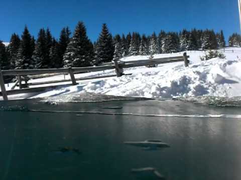
Vom Biotop Parkplatz nach Mariensee über den  Gespurten :-) Almweg auf die Schwaig dort die Sonne genossen und danach über Forststrassen zurück zum Auto. 

Galeria trasy

Mapa trasy i profil wysokości

  • Open Street Map
  • Google
Minimum height 948 m Maximum height 1482 m Widok szczegółowy

More about the tour author

Yeti2333
Member since 2010

Send private message

Komentarze

über A2 Abfahrt Aspang und die B54 Richtung Aspang beim Kreisverkehr links weg richtung Mariensee.

GPS tracks

Trackpoints
  • GPX / Garmin Map Source (gpx) download
  • TCX / Garmin Training Center® (tcx) download
  • CRS / Garmin Training Center® (crs) download
  • Google Earth (kml) download
  • G7ToWin (g7t) download
  • TTQV (trk) download
  • Overlay (ovl) download
  • Fugawi (txt) download
  • Kompass (DAV) Track (tk) download
  • Karta trasy (pdf) download
  • Original file of the author (gpx) download

More about the tour author

Yeti2333
Member since 2010

Send private message
Share track
Add to my favorites
Remove from my favorites
Edit tags
My score
Rate
Trasa: Was will man mehr, einfach traumhaft
Rodzaj: Rakiety śnieżne
Długość: 7,3 km
Evaluated on:
Czas trwania:
Day(s)
Hour(s)
Minute(s)
Ocena: Krajobraz Czynnik zadowolenia Kondycja Technika