Login

Zapomniałeś swój login?

Cookies have to be accepted!
Your browser's cookie functionality is disabled. Please enable this functionality.

Not a member yet?

Register now
Login

Available for registred users only

Log in to use this feature.

Zapomniałeś swój login?

Cookies have to be accepted!
Your browser's cookie functionality is disabled. Please enable this functionality.

Not a member yet?

Register now
Filter
Kategorie
Advanced filters
  • Długość (km)
  • Wysokość
Zapisz filtr Reset filter

TrackRank

QRCode

Technical data

Długość6,4 km Wysokość133 m Way down154 m Czas trwania02:00 h:m Data29.01.2012
Oceny Author User Krajobraz Czynnik zadowolenia Kondycja Technika

Statystyka

923 Widoki 1 Ocena 144 Downloads / Pliki do pobrania 4.00 Przeciętnie
Rate
  • Karta trasy
  • Dojazd
  • Downloads / Pliki do pobrania
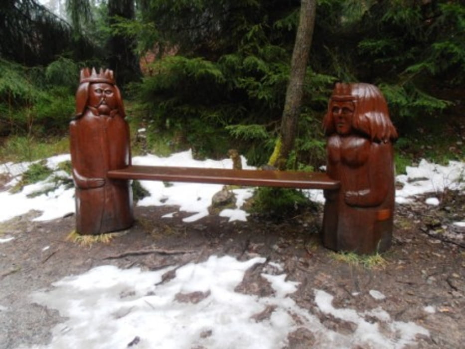
Diese Wanderung ist sehr schön aufgemacht. Sie lohnt sich nicht zuletzt wegen der netten Bänke und Rastmöglichkeiten. Lohnt sich auf jeden Fall wenn man mal nicht so eine anstrengende Tour gehen möchte. Auf dem Rückweg unbedingt die Holzstabkirche in Hahnenklee anschauen!

Galeria trasy

Mapa trasy i profil wysokości

  • Open Street Map
  • Google
Minimum height 533 m Maximum height 686 m Widok szczegółowy

More about the tour author

wanderer_09
Member since 2008

Send private message

Komentarze

Mambone on 14.02.2012

Liebesbankweg

Habe diese Tour heute mit einigen Abweichungen zwecks Geocaching gegen den Uhrzeigersinn erwandert, für mich im nachhinein die schwerere Richtung. Wirklich sehr empfehlenswert, auch oder gerade im Winter. Wetter leider etwas trüb mit leichtem Schneefall, aber trotzdem hat es viel Spaß gemacht.

Gruß
Mambone (Torsten)
Großer kostenloser Parkplatz am Ortsrand.

GPS tracks

Trackpoints
  • GPX / Garmin Map Source (gpx) download
  • TCX / Garmin Training Center® (tcx) download
  • CRS / Garmin Training Center® (crs) download
  • Google Earth (kml) download
  • G7ToWin (g7t) download
  • TTQV (trk) download
  • Overlay (ovl) download
  • Fugawi (txt) download
  • Kompass (DAV) Track (tk) download
  • Karta trasy (pdf) download
  • Original file of the author (gpx) download

More about the tour author

wanderer_09
Member since 2008

Send private message
Share track
Add to my favorites
Remove from my favorites
Edit tags
My score
Rate
Trasa: Liebesbankweg
Rodzaj: Wędrówki
Długość: 6,4 km
Evaluated on:
Czas trwania:
Day(s)
Hour(s)
Minute(s)
Ocena: Krajobraz Czynnik zadowolenia Kondycja Technika